Login

Forgotten password?

Cookies have to be accepted!
Your browser's cookie functionality is disabled. Please enable this functionality.

Not a member yet?

Register now
Login

Available for registred users only

Log in to use this feature.

Forgotten password?

Cookies have to be accepted!
Your browser's cookie functionality is disabled. Please enable this functionality.

Not a member yet?

Register now
Filter
Categories
Advanced filters
  • Distance (km)
  • Height
Save filters Reset filter

TrackRank

QRCode

Technical data

Distance113,9 km Height246 m Way down261 m Duration03:31 h:m Date07.09.2012
Scores Author Landscape Fun factor Fitness Technique

Statistics

105 Views Scores 10 Downloads Average
Rate
  • Track data sheet
  • Directions
  • Downloads

25.8.2012

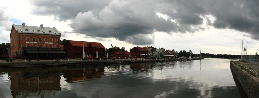
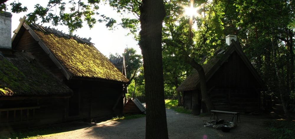
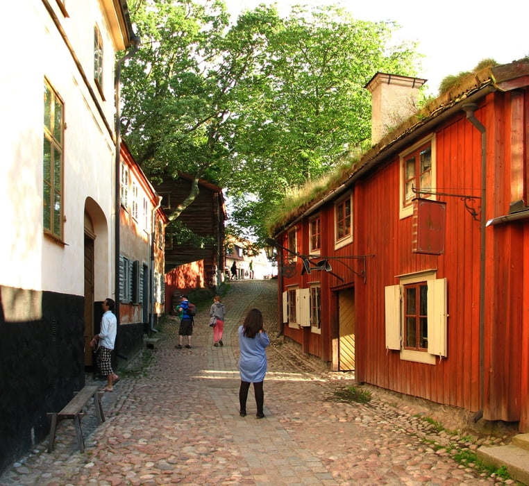
Zo Skavsty do Nykopingu, prehliadka mestečka a na vlak do Štokholmu. Tam som si pozrel Skansen, trochu prešiel po meste a presunul sa na Arlandu, kde som prespal na termináli.

Tour gallery

Tour map and elevation profile

  • Open Street Map
  • Google
Minimum height 9 m Maximum height 107 m Detailed view

More about the tour author

tmax
Member since 2007

Send private message

Comments

Štokholm

GPS tracks

Trackpoints
  • GPX / Garmin Map Source (gpx) download
  • TCX / Garmin Training Center® (tcx) download
  • CRS / Garmin Training Center® (crs) download
  • Google Earth (kml) download
  • G7ToWin (g7t) download
  • TTQV (trk) download
  • Overlay (ovl) download
  • Fugawi (txt) download
  • Kompass (DAV) Track (tk) download
  • Track data sheet (pdf) download
  • Original file of the author (gpx) download

More about the tour author

tmax
Member since 2007

Send private message
Share track
Add to my favorites
Remove from my favorites
Edit tags
My score
Rate
Track: 20120825_Nykoping, Skansen
Type: Hiking
Distance: 113,9 km
Evaluated on:
Duration:
Day(s)
Hour(s)
Minute(s)
Score: Landscape Fun factor Fitness Technique