


Die Wanderung auf dem Stevenson-Weg ist
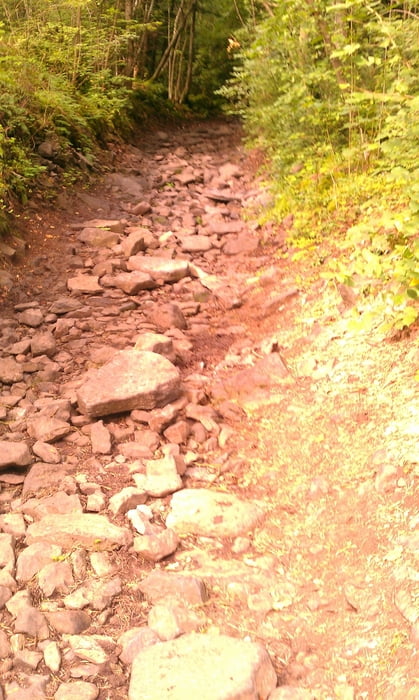
eigentlich ohne besondere Anstrengungen zu absolvieren. Etwas Training vorausgesetzt. Gelegentlich geht es ziemlich hoch und runter, aber alles in allem gut machbar. Ich bin täglich zwischen 20 und 28 km gewandert und weil es an zwei Tagen geregenet hat eben an den Tagen nur 6 km. Übernachtungen sind problemlos machbar. Wer sich näher informieren will gebe einfach Stevenson Trail in eine Suchmaschine ein und schon kommen zahlreiche Ergebnisse, z.B. www.chemin-stevenson.org.
Further information at
http://www.chemin-stevenson.orgTour gallery

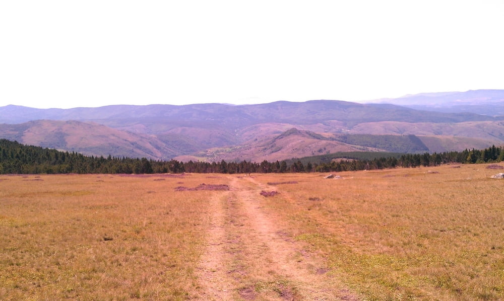
Tour map and elevation profile
Minimum height 182 m
Maximum height 2000 m
More about the tour author

|
lsschmitt |
Comments

von Deutschland aus mit Auto oder Eisenbahn Richtung Lyon, von dort weiter nach St. Etienne und dann noch einmal rund 75 km bis nach Le Puy en Velay, wo dann der Marsch bis Ales los gehen kann.
GPS tracks
Trackpoints-
GPX / Garmin Map Source (gpx) download
-
TCX / Garmin Training Center® (tcx) download
-
CRS / Garmin Training Center® (crs) download
-
Google Earth (kml) download
-
G7ToWin (g7t) download
-
TTQV (trk) download
-
Overlay (ovl) download
-
Fugawi (txt) download
-
Kompass (DAV) Track (tk) download
-
Track data sheet (pdf) download
-
Original file of the author (gpx) download
More about the tour author
|
|
lsschmitt |
Add to my favorites
Remove from my favorites
Edit tags
Open track
My score
Rate