


"Spaß" Alpenbrevet in der Schweiz
Nachdem der Alpenbrevet 2012 leider abgesagt werden musste ( richtige Entscheidung! ) haben wir uns eine Woche später, bei besten Wetteraussichten, entschlossen dieses Event in unser Spaßprogamm aufzunehmen! Die Runde entspricht der Goldrunde beim Alpenbrevet. Start & Ziel war für uns am Tännler Hof, gute Parkmöglichkeit! Zwischenstopp in Airolo.
Grimselpass: http://de.wikipedia.org/wiki/Grimselpass
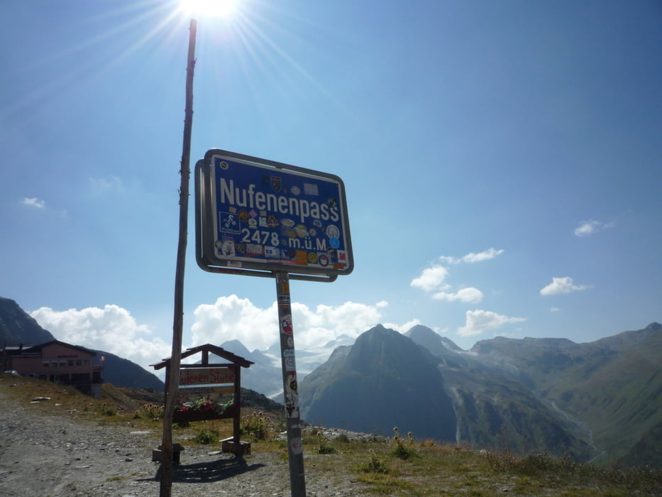
Nufenenpass: http://de.wikipedia.org/wiki/Nufenenpass
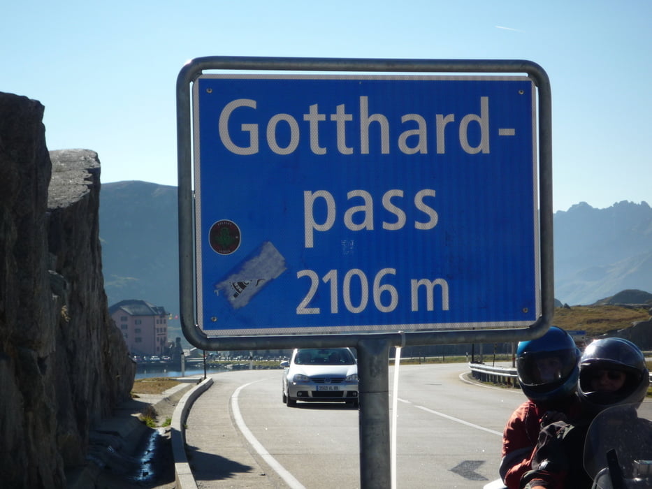
Gotthardpass: http://de.wikipedia.org/wiki/Gotthardpass
Sustenpas: http://de.wikipedia.org/wiki/Sustenpass
Schwierigkeitsgrad wie der Ötztaler!
Further information at
http://www.alpenbrevet.ch/Tour gallery

Tour map and elevation profile
Minimum height 626 m
Maximum height 2489 m
More about the tour author
|
|
FLU |
Comments

GPS tracks
Trackpoints-
GPX / Garmin Map Source (gpx) download
-
TCX / Garmin Training Center® (tcx) download
-
CRS / Garmin Training Center® (crs) download
-
Google Earth (kml) download
-
G7ToWin (g7t) download
-
TTQV (trk) download
-
Overlay (ovl) download
-
Fugawi (txt) download
-
Kompass (DAV) Track (tk) download
-
Track data sheet (pdf) download
-
Original file of the author (gpx) download
More about the tour author
|
|
FLU |
Add to my favorites
Remove from my favorites
Edit tags
Open track
My score
Rate