


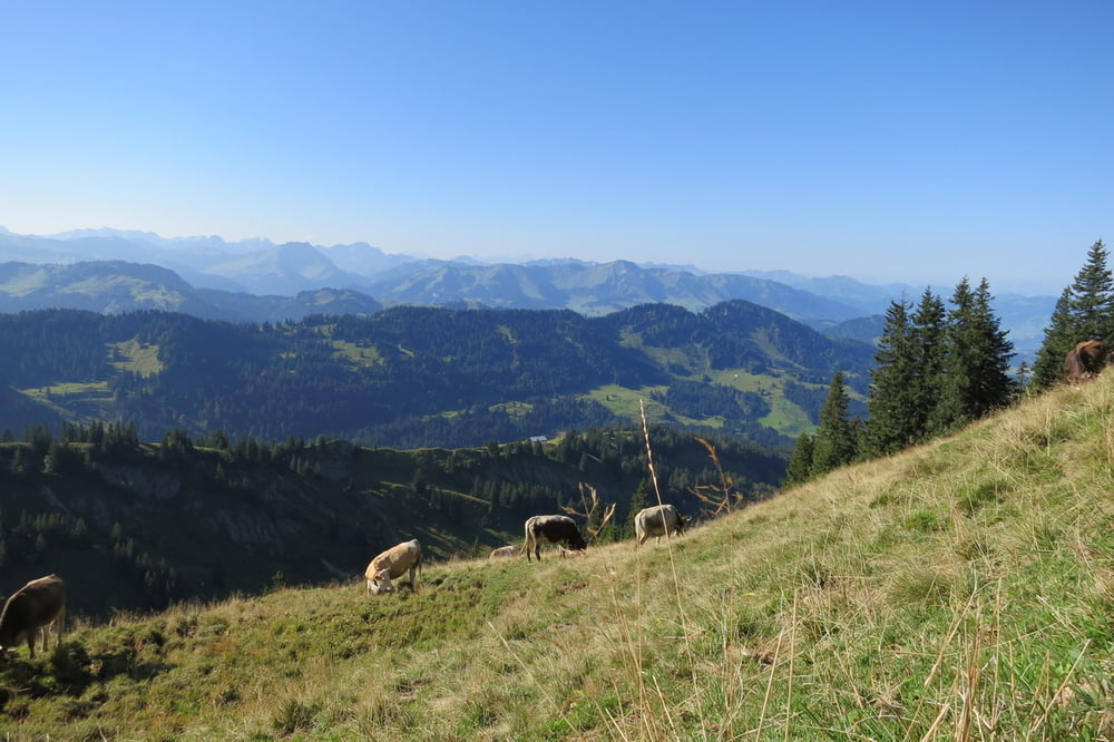
Schöne aussichtsreiche Bergtour. Am beliebten Grat zwischen Hochgrat und Falken wird Trittsicherheit verlangt.
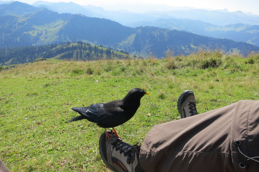
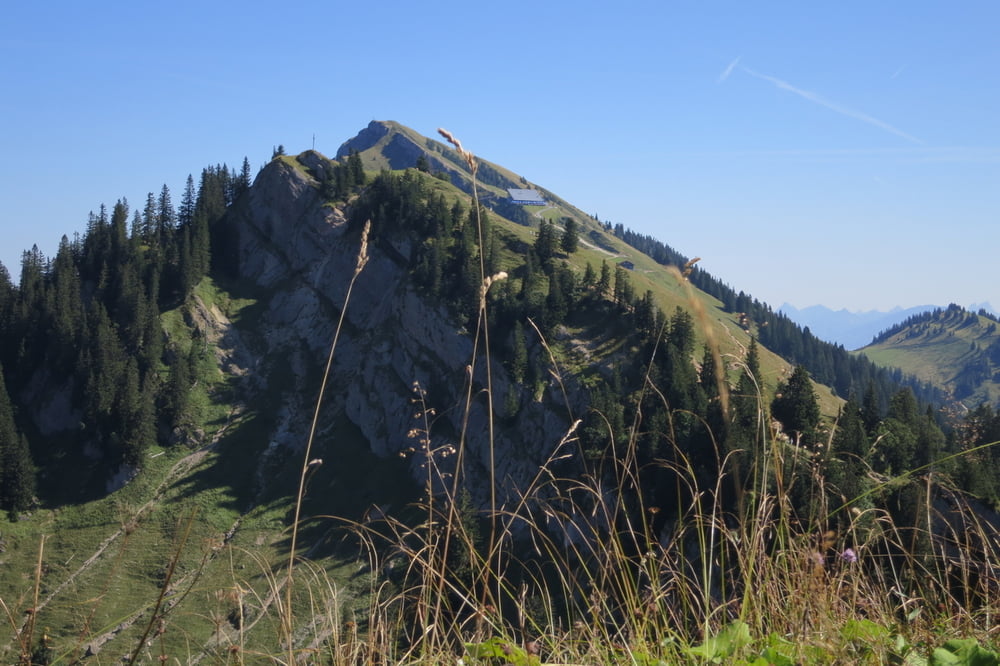
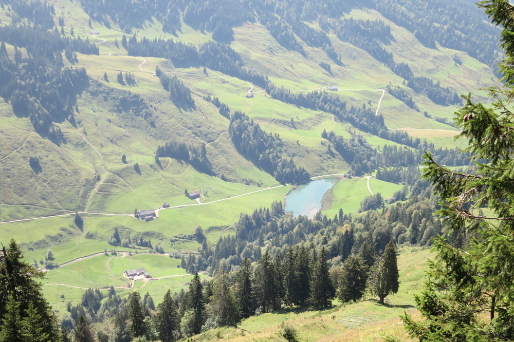
Wegbeschreibung: Vom Parkplatz aus, laufen wir auf dem Europawanderweg E5, vorbei am Lecknersee. Bei 1200 Höhenmeter verlassen wir den Fernwanderweg und folgen der Beschilderung zur Obere Gelchenwangalpe. Von dort zum Hochgratgipfel. Die Gratwanderung vom Hochgrat zum Falken bietet tolle Aussichten. Kurz vor dem Falken, biegen wir links ins Lecknertal zum Parkplatz ab.
Laufzeiten: Vom Parkplatz zum Hochgrat ca. 3 Std. - Hochgrat zum Falken ca. 2 Std. - Vom Falken ins Lecknertal ca. 1 Std.
Einkehrmöglichkeiten: Alpgasthof Höfele, Bergstation Hochgratbahn, Juliansplattealpe
Further information at
http://de.wikipedia.org/wiki/BregenzerwaldTour gallery
Tour map and elevation profile
Minimum height 980 m
Maximum height 1803 m
More about the tour author
|
|
W-C |
Comments

Von Oberstaufen kommend, Aach - Krumbach - Hittisau links ins Lecknertal abbiegen - Bolgenach. ca. 700 m vor dem Lecknersee ist links ein Parkplatz.
Die Straße ist gebührenpflichtig 3 €. Das Parken kostenlos.
Parkplatz - Koordinaten für dein Navigationsgerät
N 47° 28. 362´
E 10° 01. 425´
GPS tracks
Trackpoints-
GPX / Garmin Map Source (gpx) download
-
TCX / Garmin Training Center® (tcx) download
-
CRS / Garmin Training Center® (crs) download
-
Google Earth (kml) download
-
G7ToWin (g7t) download
-
TTQV (trk) download
-
Overlay (ovl) download
-
Fugawi (txt) download
-
Kompass (DAV) Track (tk) download
-
Track data sheet (pdf) download
-
Original file of the author (gpx) download
More about the tour author
|
|
W-C |
Add to my favorites
Remove from my favorites
Edit tags
Open track
My score
Rate