Login

Forgotten password?

Cookies have to be accepted!
Your browser's cookie functionality is disabled. Please enable this functionality.

Not a member yet?

Register now
Login

Available for registred users only

Log in to use this feature.

Forgotten password?

Cookies have to be accepted!
Your browser's cookie functionality is disabled. Please enable this functionality.

Not a member yet?

Register now
Filter
Categories
Advanced filters
  • Distance (km)
  • Height
Save filters Reset filter

TrackRank

QRCode

Technical data

Distance49,7 km Height596 m Way down719 m Duration00:00 h:m Date10.09.2012
Scores Author User Landscape Fun factor Fitness Technique

Statistics

349 Views 1 Score 45 Downloads 4.00 Average
Rate
  • Track data sheet
  • Directions
  • Downloads
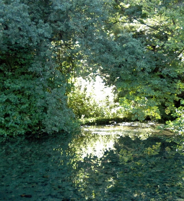
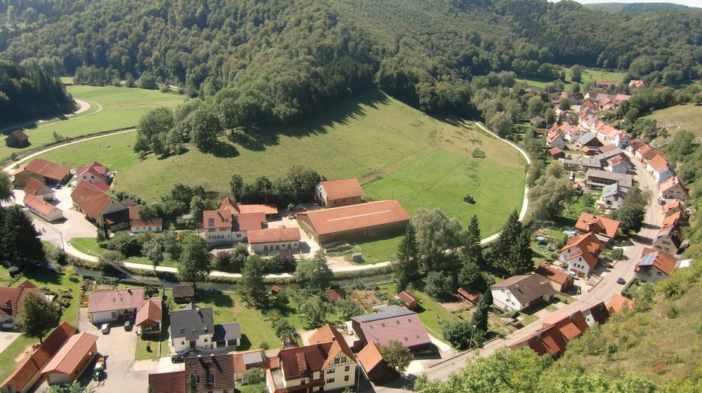
Durch das liebliche Lautertal führt unsere Tour führt in der Schwäbischen Alb. Viele bezeichnen dieses Tal als das Herz der Alb. Wir radeln durch eine großartige Landschaft mit vielen Burgruinen, zu denen sich wegen der Aussicht eine Wanderung hinauf immer lohnt. Viele kulturelle Höhepunkte gibt es am Wegesrand. Zum Beispiel das jüdische Museum und den jüdischen Friedhof in Buttenhausen.

Tour gallery

Tour map and elevation profile

  • Open Street Map
  • Google
Minimum height 509 m Maximum height 672 m Detailed view

More about the tour author

ulipele
Member since 2011

Send private message

Comments

Start an der Lauterquelle in Offenhausen, Ziel in Zwiefalten. Von dort können wir mit dem Bus zum Ausgangspunkt zurückfahren.

GPS tracks

Trackpoints
  • GPX / Garmin Map Source (gpx) download
  • TCX / Garmin Training Center® (tcx) download
  • CRS / Garmin Training Center® (crs) download
  • Google Earth (kml) download
  • G7ToWin (g7t) download
  • TTQV (trk) download
  • Overlay (ovl) download
  • Fugawi (txt) download
  • Kompass (DAV) Track (tk) download
  • Track data sheet (pdf) download
  • Original file of the author (gpx) download

More about the tour author

ulipele
Member since 2011

Send private message
Share track
Add to my favorites
Remove from my favorites
Edit tags
My score
Rate
Track: Unterwegs im Lautertal Radführer West Augsburger Allgemeine Schwäbische Alb Neu-Ulmer Zeitung Radelnanders Mittelschwäbische Nachrichten
Type: Bicycle tours
Distance: 49,7 km
Evaluated on:
Duration:
Day(s)
Hour(s)
Minute(s)
Score: Landscape Fun factor Fitness Technique