Login

Forgotten password?

Cookies have to be accepted!
Your browser's cookie functionality is disabled. Please enable this functionality.

Not a member yet?

Register now
Login

Available for registred users only

Log in to use this feature.

Forgotten password?

Cookies have to be accepted!
Your browser's cookie functionality is disabled. Please enable this functionality.

Not a member yet?

Register now
Filter
Categories
Advanced filters
  • Distance (km)
  • Height
Save filters Reset filter

TrackRank

QRCode

Technical data

Distance65,8 km Height634 m Way down635 m Duration06:00 h:m Date11.09.2012
Scores Author Landscape Fun factor Fitness Technique

Statistics

380 Views Scores 30 Downloads Average
Rate
  • Track data sheet
  • Directions
  • Downloads
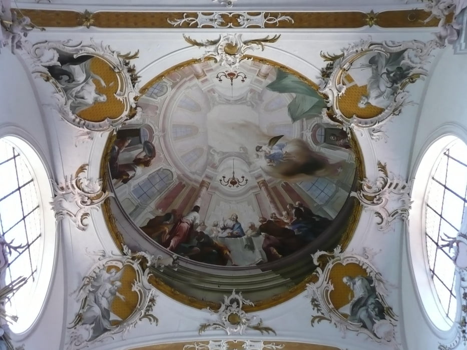
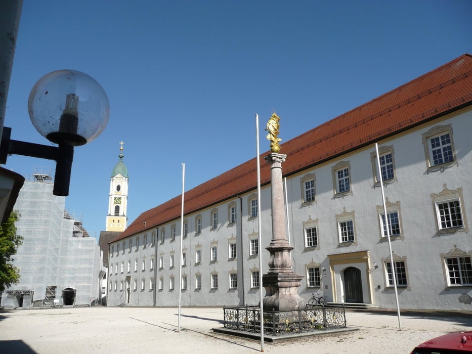
Steinhausen, Ochsenhausen und vieles mehr: Die Wucht des Barock lernen wir bei dieser Tour in einer faszinierenden Weise kennen. Schöne Runde diesseits und jenseits der Grenze von Bayern und Baden Württemberg

Tour gallery

Tour map and elevation profile

  • Open Street Map
  • Google
Minimum height 537 m Maximum height 708 m Detailed view

More about the tour author

ulipele
Member since 2011

Send private message

Comments

Start und Ziel ist der Bahnhof in Kellmünz

GPS tracks

Trackpoints
  • GPX / Garmin Map Source (gpx) download
  • TCX / Garmin Training Center® (tcx) download
  • CRS / Garmin Training Center® (crs) download
  • Google Earth (kml) download
  • G7ToWin (g7t) download
  • TTQV (trk) download
  • Overlay (ovl) download
  • Fugawi (txt) download
  • Kompass (DAV) Track (tk) download
  • Track data sheet (pdf) download
  • Original file of the author (gpx) download

More about the tour author

ulipele
Member since 2011

Send private message
Share track
Add to my favorites
Remove from my favorites
Edit tags
My score
Rate
Track: Ziemlich bergig und "barockig" Zwischen Kellmünz und Ochsenhausen Radführer West Augsburger Allgemeine Landkreis Neu-Ulm Illertisser Zeitung Radelnanders Mittelschwäbische Nachrichten
Type: Bicycle tours
Distance: 65,8 km
Evaluated on:
Duration:
Day(s)
Hour(s)
Minute(s)
Score: Landscape Fun factor Fitness Technique