

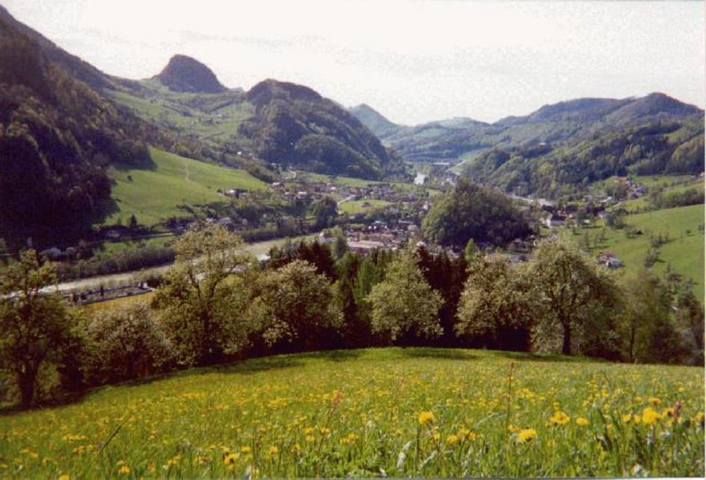

26.08.07 – Von Enzersdorf nach Unterzeiring und weiter über St. Oswald auf das Sommertörl. Die Tour ist angenehm zu fahren und auf der Höhe hat man eine tolle Aussicht.
Further information at
http://www.murtal.atTour gallery
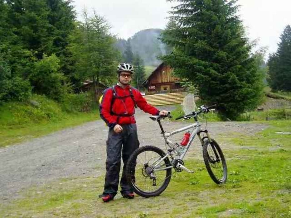
Tour map and elevation profile
Minimum height 808 m
Maximum height 1650 m
More about the tour author
|
|
exitus |
Comments

Von der Bezirksstadt Judenburg (Plz 8750) die B317 Richtung Süden. Nach ca. 3km rechts auf die B114 Richtung Trieben abbbiegen. Weiter bis nach Pöls (Plz 8761) und gleich nach der Ortstafel links Richtung Enzersdorf.
GPS tracks
Trackpoints-
GPX / Garmin Map Source (gpx) download
-
TCX / Garmin Training Center® (tcx) download
-
CRS / Garmin Training Center® (crs) download
-
Google Earth (kml) download
-
G7ToWin (g7t) download
-
TTQV (trk) download
-
Overlay (ovl) download
-
Fugawi (txt) download
-
Kompass (DAV) Track (tk) download
-
Track data sheet (pdf) download
-
Original file of the author (gpx) download
More about the tour author
|
|
exitus |
Add to my favorites
Remove from my favorites
Edit tags
Open track


My score
Rate