


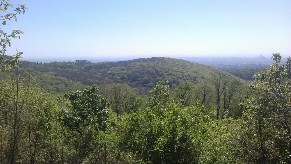
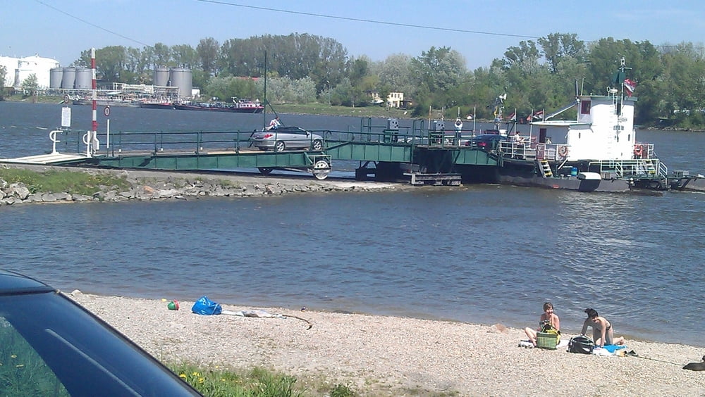
Die Tour beginnt in Wien Donaustadt und führt die Daunauinsel entlang nach Nussdorf. Von dort geht es über den Beethovengang auf den Kahlenberg bis zur Sofienalpe. Beim Tulbinger Kogel und der Dopplerhütte (ehemaliger Bikertreff) vorbei führt die Streck nach Königstetten. Über Wipfing und Muckendorf an der Donau fahren wir zum Donauradweg. Dem entlag nach Klosterneuburg. Dann mit der Rollfähre nach Korneuburg. Beim Bisamberg vorbei führt die Tour wieder nach Wien Donaustadt.
Tour gallery
Tour map and elevation profile
Minimum height 152 m
Maximum height 540 m
More about the tour author

|
pentit |
Comments

GPS tracks
Trackpoints-
GPX / Garmin Map Source (gpx) download
-
TCX / Garmin Training Center® (tcx) download
-
CRS / Garmin Training Center® (crs) download
-
Google Earth (kml) download
-
G7ToWin (g7t) download
-
TTQV (trk) download
-
Overlay (ovl) download
-
Fugawi (txt) download
-
Kompass (DAV) Track (tk) download
-
Track data sheet (pdf) download
-
Original file of the author (gpx) download
More about the tour author
|
|
pentit |
Add to my favorites
Remove from my favorites
Edit tags
Open track
My score
Rate