


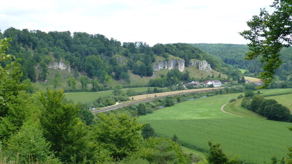
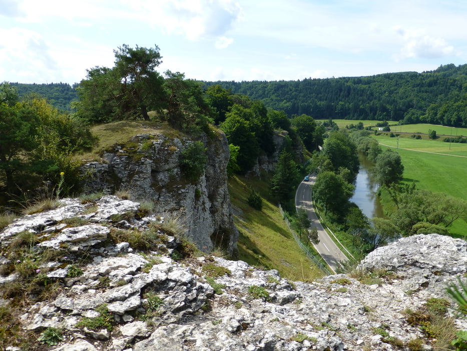
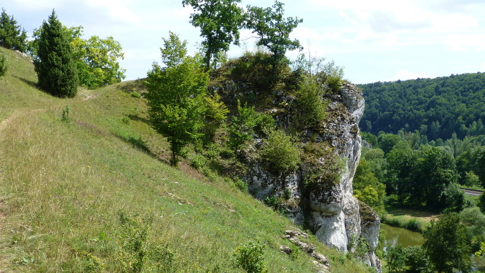
Diese Tour folgt weitgehend dem Altmühlpanoramaweg. Die Schleife um Mörnsheim haben wir uns allerdings geschenkt.
Die Steigungen sind moderat. Der Weg verläuft größtenteils auf Pfaden am Hang ohne Schatten. Manchmal führt uns der Pfad direkt über die imposanten Felsen.
Beachtenswert ist auch die besondere Vegetation der Juratrockenhänge.
Further information at
http://www.wanderkompass.de/fernwanderweg/bayern/altmuhltal-panoramaweg-etappe-4.htmlTour gallery
Tour map and elevation profile
Minimum height 397 m
Maximum height 497 m
More about the tour author
|
|
ds5 |
Comments

Wir sind von Eichstädt mit dem Auto zum Bahnhof in Dollnstein gefahren. Mit der Bahn ging es dann weiter nach Solnhofen.
GPS tracks
Trackpoints-
GPX / Garmin Map Source (gpx) download
-
TCX / Garmin Training Center® (tcx) download
-
CRS / Garmin Training Center® (crs) download
-
Google Earth (kml) download
-
G7ToWin (g7t) download
-
TTQV (trk) download
-
Overlay (ovl) download
-
Fugawi (txt) download
-
Kompass (DAV) Track (tk) download
-
Track data sheet (pdf) download
-
Original file of the author (gpx) download
More about the tour author
|
|
ds5 |
Add to my favorites
Remove from my favorites
Edit tags
Open track
My score
Rate