

Vom Parkplatz Halblech Kenzenhütte geht es zuerst auf einer Teerstraße einige Meter entlang des Halblech. Der weitere Weg bis zur Kenzenhütte ist ein gut ausgebauter Schotterweg!
Ab der Kenzenhütte geht es über einen groben Schotterweg steiler bergauf. Die letzten 200 HM bis zum Lösertaljoch muss das Rad dann geschoben bzw. getragen werden.
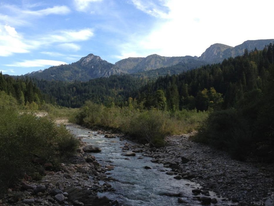
Der Blick vom Joch bis zum Kloster Ettal und auch ins Kenzengebiet entschädigt für die Mühen.
Leider muss das Rad auch wieder 100 HM bergabgetragen werden, bevor ein schöner, leider zu kurzer Wiesentrail kommt.
Bevor man wieder ins Tal abfährt sollte man einen Blick auf den Wasserfall hinter der Kenzenhütte wagen!
Tour gallery


Tour map and elevation profile
Minimum height 816 m
Maximum height 1679 m
More about the tour author
|
|
thumfart |
Comments

Parkplatz bei Halblech im Ostallgäu!
GPS tracks
Trackpoints-
GPX / Garmin Map Source (gpx) download
-
TCX / Garmin Training Center® (tcx) download
-
CRS / Garmin Training Center® (crs) download
-
Google Earth (kml) download
-
G7ToWin (g7t) download
-
TTQV (trk) download
-
Overlay (ovl) download
-
Fugawi (txt) download
-
Kompass (DAV) Track (tk) download
-
Track data sheet (pdf) download
-
Original file of the author (gpx) download
More about the tour author
|
|
thumfart |
Add to my favorites
Remove from my favorites
Edit tags
Open track
My score
Rate