Login

Forgotten password?

Cookies have to be accepted!
Your browser's cookie functionality is disabled. Please enable this functionality.

Not a member yet?

Register now
Login

Available for registred users only

Log in to use this feature.

Forgotten password?

Cookies have to be accepted!
Your browser's cookie functionality is disabled. Please enable this functionality.

Not a member yet?

Register now
Filter
Categories
Advanced filters
  • Distance (km)
  • Height
Save filters Reset filter

TrackRank

QRCode

Technical data

Distance44,3 km Height1017 m Way down1026 m Duration03:25 h:m Date27.09.2012
Scores Author Landscape Fun factor Fitness Technique

Statistics

2430 Views Scores 79 Downloads Average
Rate
  • Track data sheet
  • Directions
  • Downloads
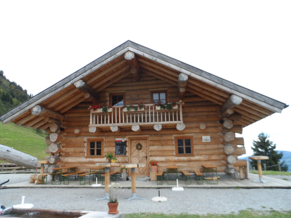
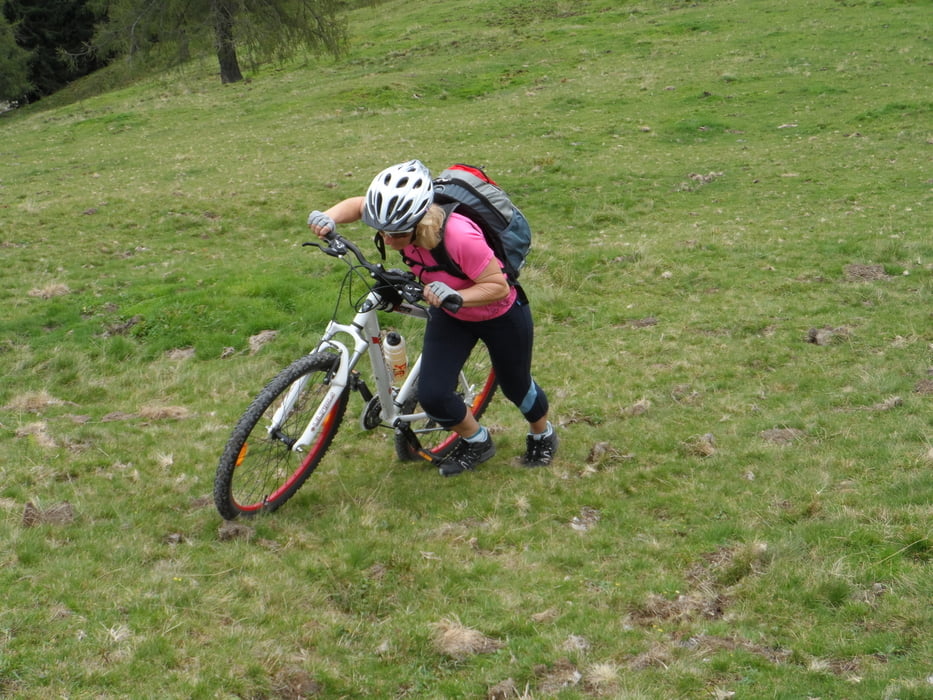
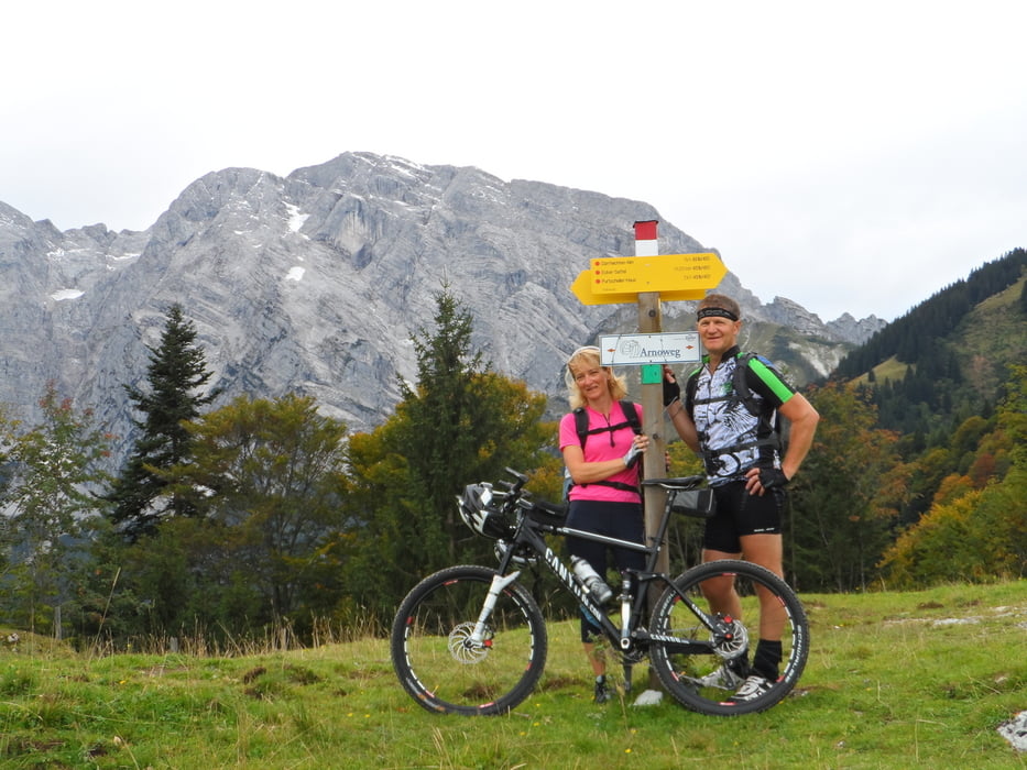
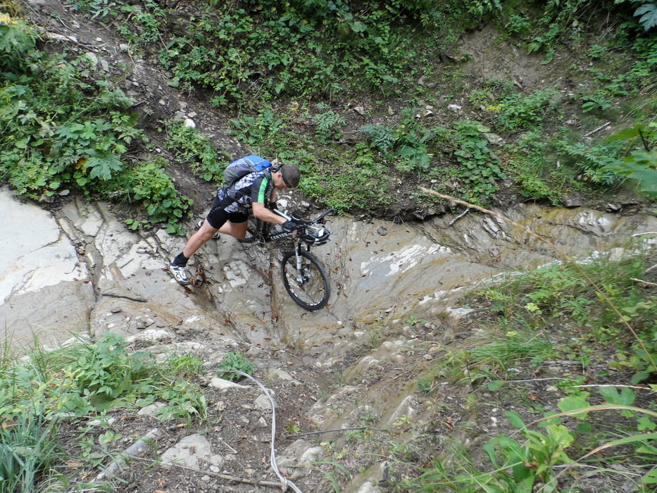
Von Golling geht es Richtung Kuchl-dann links weiter auf die Nesslangeralm (Schild: Fahrverbot für Biker)-ab der Nesslangeralm ist ein Stück auf einem Wanderweg zu schieben-danach kann man super nach Hallein hinunter fahren-und auf kleinen Umwegen wieder zurück nach Golling

Tour gallery

Tour map and elevation profile

  • Open Street Map
  • Google
Minimum height 458 m Maximum height 1296 m Detailed view

More about the tour author

plazo100
Member since 2009

Send private message

Comments

GPS tracks

Trackpoints
  • GPX / Garmin Map Source (gpx) download
  • TCX / Garmin Training Center® (tcx) download
  • CRS / Garmin Training Center® (crs) download
  • Google Earth (kml) download
  • G7ToWin (g7t) download
  • TTQV (trk) download
  • Overlay (ovl) download
  • Fugawi (txt) download
  • Kompass (DAV) Track (tk) download
  • Track data sheet (pdf) download
  • Original file of the author (gpx) download

More about the tour author

plazo100
Member since 2009

Send private message
Share track
Add to my favorites
Remove from my favorites
Edit tags
My score
Rate
Track: Nesslangeralm
Type: Mountain bike
Distance: 44,3 km
Evaluated on:
Duration:
Day(s)
Hour(s)
Minute(s)
Score: Landscape Fun factor Fitness Technique