


Hallo zusammen, habe den Track die letzten Meter nachgezeichnet da mein Navi kurz nach Val- D Isere den Geist (Accu) aufgegebnen hat.
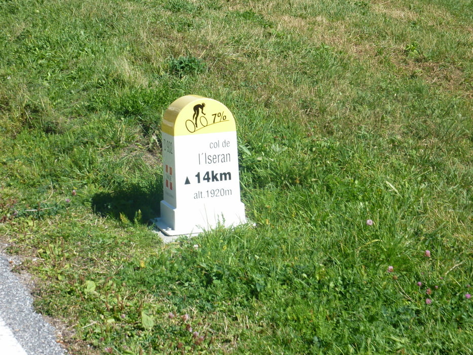
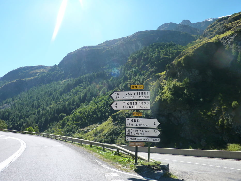
Von Bourg St. Maurice über Seez und La Thuile nach Val-D Isere und nach einem kurzem Flachstück weiter auf der Passstraße zum Scheitelpunkt des Iseran, und auf gleichem Weg wieder zurück. Wann hat man schon 2.000 Meter Abfahrt. Es kommen einige Tunnels, ein Rücklicht währe nicht schlecht.
Further information at
http://www.quaeldich.de/paesse/col-de-l-iseran/Tour gallery
Tour map and elevation profile
Minimum height 815 m
Maximum height 2018 m
More about the tour author
|
|
markus-w |
Comments

Autobahn Lindau, Lustenau, Bregenz, Bern, Genfer See, Martiny, Großer St. Berhard, Aosta Tal, Kleiner St. Bernhard, Bourg St. Maurice
GPS tracks
Trackpoints-
GPX / Garmin Map Source (gpx) download
-
TCX / Garmin Training Center® (tcx) download
-
CRS / Garmin Training Center® (crs) download
-
Google Earth (kml) download
-
G7ToWin (g7t) download
-
TTQV (trk) download
-
Overlay (ovl) download
-
Fugawi (txt) download
-
Kompass (DAV) Track (tk) download
-
Track data sheet (pdf) download
-
Original file of the author (gpx) download
More about the tour author
|
|
markus-w |
Add to my favorites
Remove from my favorites
Edit tags
Open track
My score
Rate