Login

Forgot your login?

Cookies have to be accepted!
Your browser's cookie functionality is disabled. Please enable this functionality.

Not a member yet?

Register now
Login

Available for registred users only

Log in to use this feature.

Forgot your login?

Cookies have to be accepted!
Your browser's cookie functionality is disabled. Please enable this functionality.

Not a member yet?

Register now
Filter
Categories
Advanced filters
  • Distance (km)
  • Height
Save filters Reset filter

TrackRank

QRCode

Technical data

Distance26,2 km Height833 m Way down826 m Duration02:30 h:m Date02.10.2012
Scores Author Landscape Fun factor Fitness Technique

Statistics

400 Views Scores 38 Downloads Average
Rate
  • Track data sheet
  • Directions
  • Downloads
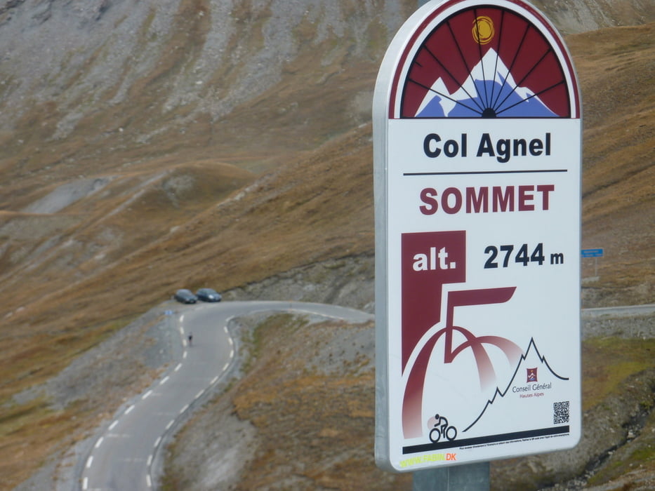
Von Pierre Gosse Campingplatz am Bach noch kurz auf den Col de Agnello ( erster Pass in der Früh IZOARD )

Tour gallery

Tour map and elevation profile

  • Open Street Map
  • Google
Minimum height 1909 m Maximum height 2739 m Detailed view

More about the tour author

markus-w
Member since 2010

Send private message

Comments

Abfahrt vom Izoard und am Passende links in ein kleines Tal weg und an einem Kreisel rechts den Pass rauf 

GPS tracks

Trackpoints
  • GPX / Garmin Map Source (gpx) download
  • TCX / Garmin Training Center® (tcx) download
  • CRS / Garmin Training Center® (crs) download
  • Google Earth (kml) download
  • G7ToWin (g7t) download
  • TTQV (trk) download
  • Overlay (ovl) download
  • Fugawi (txt) download
  • Kompass (DAV) Track (tk) download
  • Track data sheet (pdf) download
  • Original file of the author (gpx) download

More about the tour author

markus-w
Member since 2010

Send private message
Share track
Add to my favorites
Remove from my favorites
Edit tags
My score
Rate
Track: Col de Agnello 2744M.ü.M. ab Pierre Gosse
Type: Road biking
Distance: 26,2 km
Evaluated on:
Duration:
Day(s)
Hour(s)
Minute(s)
Score: Landscape Fun factor Fitness Technique