Login

Forgot your login?

Cookies have to be accepted!
Your browser's cookie functionality is disabled. Please enable this functionality.

Not a member yet?

Register now
Login

Available for registred users only

Log in to use this feature.

Forgot your login?

Cookies have to be accepted!
Your browser's cookie functionality is disabled. Please enable this functionality.

Not a member yet?

Register now
Filter
Categories
Advanced filters
  • Distance (km)
  • Height
Save filters Reset filter

TrackRank

QRCode

Technical data

Distance28,5 km Height1084 m Way down1084 m Duration02:00 h:m Date02.10.2012
Scores Author Landscape Fun factor Fitness Technique

Statistics

359 Views Scores 47 Downloads Average
Rate
  • Track data sheet
  • Directions
  • Downloads

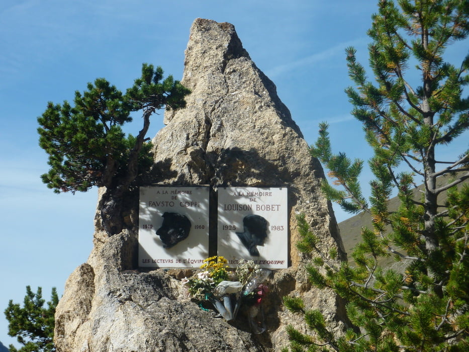
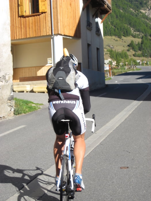
Übernachtung direkt neben dem Denkmal auf dem Izoard, dann die Südseite über die Casse Desertes abgefahren bis Arvieux zum Baguette kaufen ( siehe Bild) und wieder zurück und auf der Nordseite ein Stück runtergerollert, somit haben wir alle Sahnestücke des Izoardes befahre.

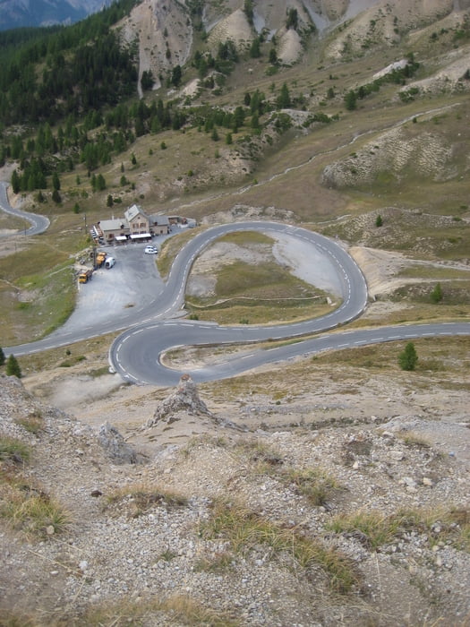
Nach einem ausgiebigen Frühstück weiter mit dem WOMO zum Col de Agnello. 

Tour gallery

Tour map and elevation profile

  • Open Street Map
  • Google
Minimum height 1582 m Maximum height 2365 m Detailed view

More about the tour author

markus-w
Member since 2010

Send private message

Comments

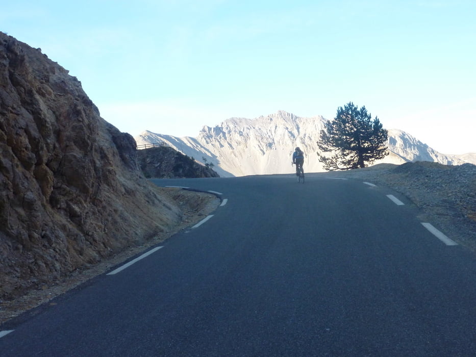
Briancon im der Beschilderung zum Izoard folgen 

GPS tracks

Trackpoints
  • GPX / Garmin Map Source (gpx) download
  • TCX / Garmin Training Center® (tcx) download
  • CRS / Garmin Training Center® (crs) download
  • Google Earth (kml) download
  • G7ToWin (g7t) download
  • TTQV (trk) download
  • Overlay (ovl) download
  • Fugawi (txt) download
  • Kompass (DAV) Track (tk) download
  • Track data sheet (pdf) download
  • Original file of the author (gpx) download

More about the tour author

markus-w
Member since 2010

Send private message
Share track
Add to my favorites
Remove from my favorites
Edit tags
My score
Rate
Track: Col de Izoard 2360 M.ü.M. Arvieux und zurück
Type: Road biking
Distance: 28,5 km
Evaluated on:
Duration:
Day(s)
Hour(s)
Minute(s)
Score: Landscape Fun factor Fitness Technique