Frankenwald MTB Tour 3 um ein Stück der MTB Tour 8 erweitert.
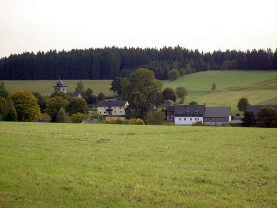
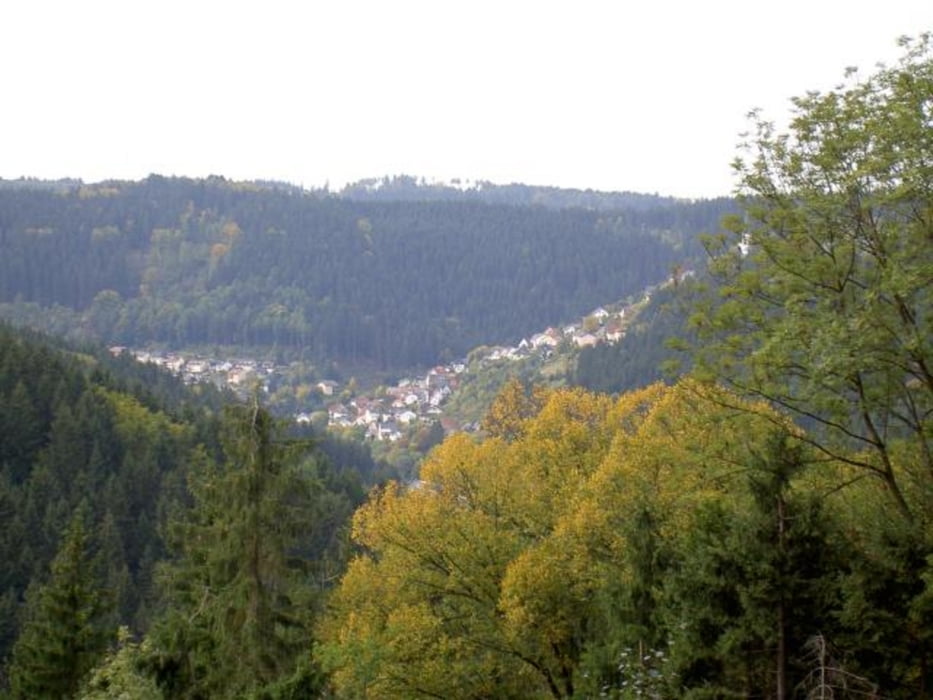
Hab sie 5-Täler-Tour genannt da sie am Anfang zweimal ins Dobertal (bei Reichenbach und nach Rappoltengrün) dann ins Ködeltal (nach Tschirn) und weiter ins Grümpeltal (zweimal, von Birnbaum und nach Neufang) und Kremnitztal (nach Lahm) und zum Schluß ins Haßlachtal (nach Teuschnitz) führt.
Tour gallery
Tour map and elevation profile
Minimum height 393 m
Maximum height 730 m
Comments
GPS tracks
Trackpoints-
GPX / Garmin Map Source (gpx) download
-
TCX / Garmin Training Center® (tcx) download
-
CRS / Garmin Training Center® (crs) download
-
Google Earth (kml) download
-
G7ToWin (g7t) download
-
TTQV (trk) download
-
Overlay (ovl) download
-
Fugawi (txt) download
-
Kompass (DAV) Track (tk) download
-
Track data sheet (pdf) download
-
Original file of the author (gpx) download
Add to my favorites
Remove from my favorites
Edit tags
Open track
My score
Rate


Klasse Tour
bin heute diese wirklich sehr schöne aber auch sehr anstrengende Tour gefahren, reine Fahrzeit knapp über 5 Stunden, keine Tragepassagen (Dank Mountain-Goat) und ich hab mich nur einmal kurz verfahren...war ich aber selber schuld.
Ich bin allerdings in Wilhelmsthal gestartet, was den Vorteil hat, dass man am Schluss, wenn man sowie so schon fix und alle ist, noch eine letzte Abfahrt genießen darf.
Deine eigene Bewertung/Einschätzung entspricht voll der Realität und ich habe für diese Tour 4 Sternchen vergeben.
:-)