


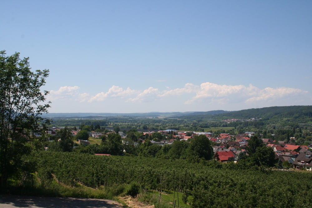
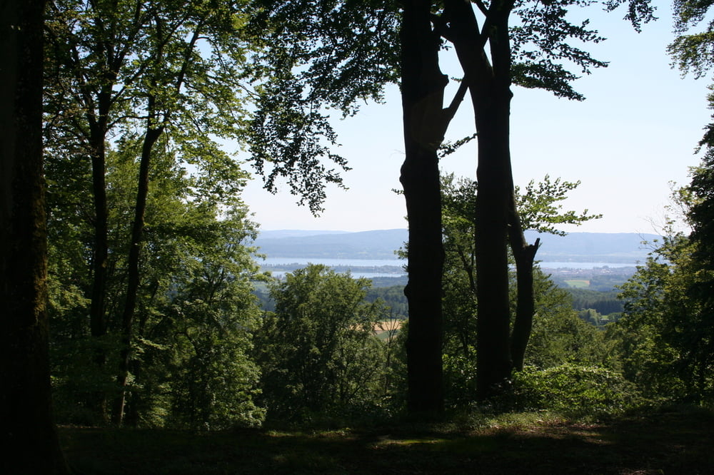
Tolle Aussichten am Bodensee
Wir starten am Wanderparkplatz in Markelfingen und treffen nach kurzer Zeit auf den idyllisch gelegenen Mindelsee. Über Felder und Wiesen, bei Langenrain überqueren wir die Landstraße.
Nach einem Halt an der Ruine Karegg steigen wir hinunter in die Marienschlucht und gehen nun am See entlang bis wir den Ort Bodman erreichen. Von da aus links hoch zur Ruine Alt Bodman. Weiter geht es zu unserem Ziel, den Parkplatz am Sportplatz von Liggeringen.
Es ist ratsam, die Tour mit 2 Autos zu machen. Man erspart sich das letzte Stück auf Asphalt.
Further information at
http://www.bodman-ludwigshafen.de/Tour gallery


Tour map and elevation profile
Minimum height 399 m
Maximum height 678 m
More about the tour author
|
|
Seili |
Comments

Auf der B 33 von Konstanz oder von Singen bis Markelfingen fahren.
GPS tracks
Trackpoints-
GPX / Garmin Map Source (gpx) download
-
TCX / Garmin Training Center® (tcx) download
-
CRS / Garmin Training Center® (crs) download
-
Google Earth (kml) download
-
G7ToWin (g7t) download
-
TTQV (trk) download
-
Overlay (ovl) download
-
Fugawi (txt) download
-
Kompass (DAV) Track (tk) download
-
Track data sheet (pdf) download
-
Original file of the author (gpx) download
More about the tour author
|
|
Seili |
Add to my favorites
Remove from my favorites
Edit tags
Open track
My score
Rate