Login

Forgotten password?

Cookies have to be accepted!
Your browser's cookie functionality is disabled. Please enable this functionality.

Not a member yet?

Register now
Login

Available for registred users only

Log in to use this feature.

Forgotten password?

Cookies have to be accepted!
Your browser's cookie functionality is disabled. Please enable this functionality.

Not a member yet?

Register now
Filter
Categories
Advanced filters
  • Distance (km)
  • Height
Save filters Reset filter

TrackRank

QRCode

Technical data

Distance17,8 km Height805 m Way down814 m Duration06:00 h:m Date15.10.2012
Scores Author Landscape Fun factor Fitness Technique

Statistics

281 Views Scores 26 Downloads Average
Rate
  • Track data sheet
  • Directions
  • Downloads

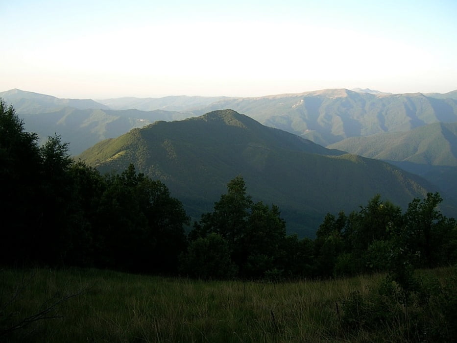
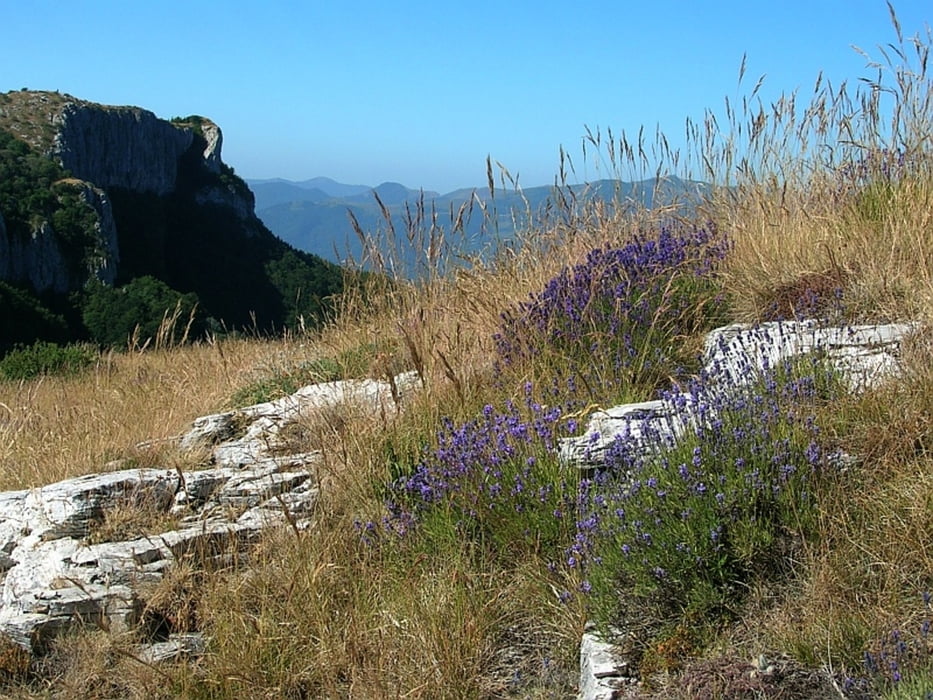
Die Wanderung von der Kapelle San Cosimo (1069) zum Monte Armetta (1739) m geht überwiegend über kleine Pfade und wird erst ab dem C.la Caprauna häufiger begangen.

Further information at

http://www.geofinder.ch/ort.php?id=16949

Tour gallery

Tour map and elevation profile

  • Open Street Map
  • Google
Minimum height 1059 m Maximum height 1718 m Detailed view

More about the tour author

Freunde
Member since 2012

Send private message

Comments

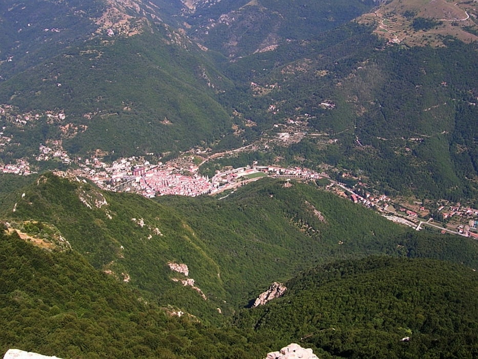
San Cosimo (1069) ist mit dem Auto erreichbar.


GPS tracks

Trackpoints
  • GPX / Garmin Map Source (gpx) download
  • TCX / Garmin Training Center® (tcx) download
  • CRS / Garmin Training Center® (crs) download
  • Google Earth (kml) download
  • G7ToWin (g7t) download
  • TTQV (trk) download
  • Overlay (ovl) download
  • Fugawi (txt) download
  • Kompass (DAV) Track (tk) download
  • Track data sheet (pdf) download
  • Original file of the author (gpx) download

More about the tour author

Freunde
Member since 2012

Send private message
Share track
Add to my favorites
Remove from my favorites
Edit tags
My score
Rate
Track: Monte Armetta
Type: Hiking
Distance: 17,8 km
Evaluated on:
Duration:
Day(s)
Hour(s)
Minute(s)
Score: Landscape Fun factor Fitness Technique