
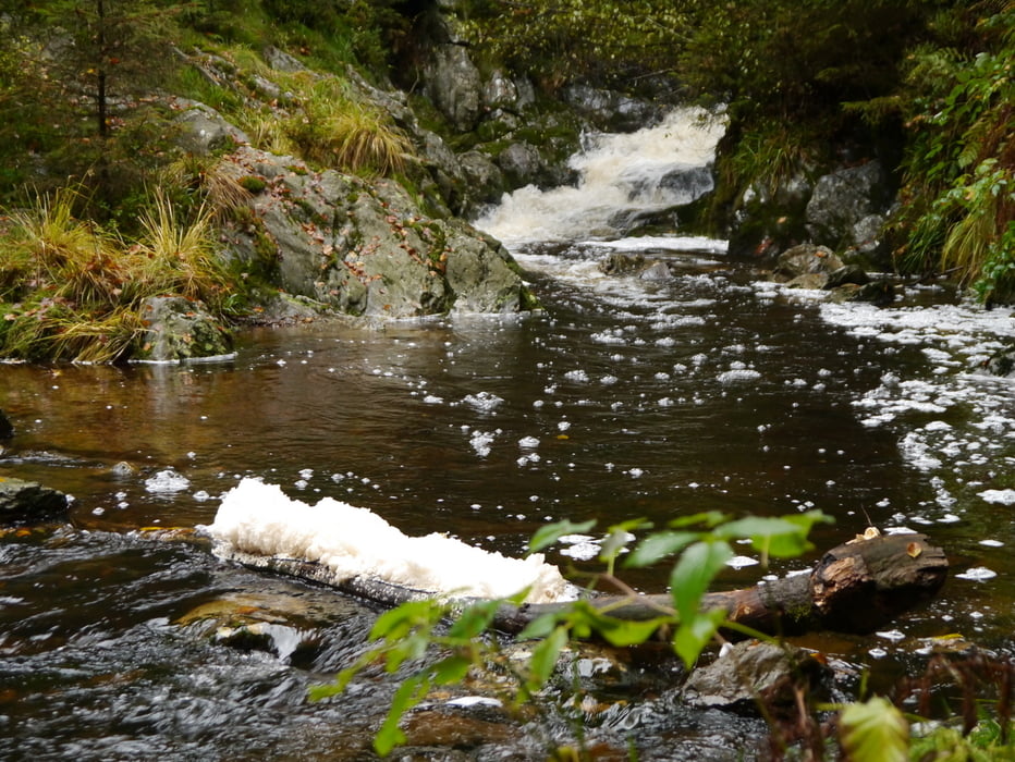

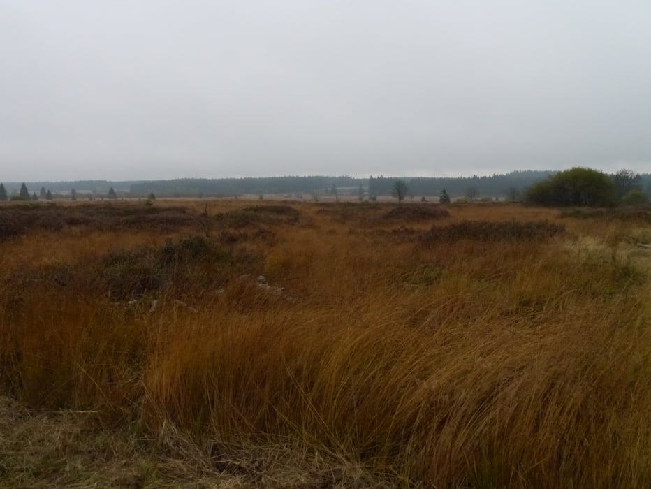
Der Deutsch-Belgische Naturpark erstreckt sich auf einer Fläche von rund 2.700 qkm in Nordrhein-Westfalen, Rheinland-Pfalz und Ostbelgien. Seine Landschaften sind von einmaliger Vielfalt: Das Hochmoor im belgischen „Hohen Venn", Flüsse, Bäche und 15 Seen und Talsperren, die farbenprächtige Artenvielfalt in der Kalkeifel, weite und bewaldete Berghöhen der Hocheifel und die Ausläufer der Vulkaneifel. Mitten im Deutsch-Belgischen Naturpark liegt der Nationalpark Eifel, der einzige Nationalpark in Nordrhein-Westfalen.
Further information at
http://www.zuraltenschmiede.beTour gallery

Tour map and elevation profile
Minimum height 421 m
Maximum height 678 m
More about the tour author
|
|
Wanderfrosch1960 |
Comments

GPS tracks
Trackpoints-
GPX / Garmin Map Source (gpx) download
-
TCX / Garmin Training Center® (tcx) download
-
CRS / Garmin Training Center® (crs) download
-
Google Earth (kml) download
-
G7ToWin (g7t) download
-
TTQV (trk) download
-
Overlay (ovl) download
-
Fugawi (txt) download
-
Kompass (DAV) Track (tk) download
-
Track data sheet (pdf) download
-
Original file of the author (gpx) download
More about the tour author
|
|
Wanderfrosch1960 |
Add to my favorites
Remove from my favorites
Edit tags
Open track
My score
Rate