


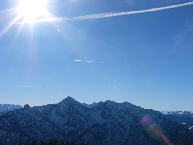
Ausgangspunkt dieser Tour ist beim Froschsee zwischen Ruhpolding und Inzell. Wir folgen einer Forststraße, bei einer Höhe von 900m geht's links weg. Meist ist hier eine Spur südlich durch den Wald angelegt. Falls nicht, folgen wir der Abfahrt bis wir wieder auf eine Forststraße kommen. Auf dieser geht's anfangs flach später steil bergauf am Eingang der Roßgasse (schöne aber steile Abfahrtvariante bei sicheren Verhältnissen) später der Endres Diensthütte vorbei. Bei einer Höhe von ca. 1400m wird der Weg wieder flach. Beim Wegweiser Kienberg links etwas steiler nach Westen und später Richtung Nordosten zum Gipfel des Streichers (1594) aufsteigen.
Further information at
http://www.sigisfunwelt.deTour gallery
Tour map and elevation profile
Minimum height 737 m
Maximum height 1593 m
More about the tour author

|
sigi mitteregger |
Comments

GPS tracks
Trackpoints-
GPX / Garmin Map Source (gpx) download
-
TCX / Garmin Training Center® (tcx) download
-
CRS / Garmin Training Center® (crs) download
-
Google Earth (kml) download
-
G7ToWin (g7t) download
-
TTQV (trk) download
-
Overlay (ovl) download
-
Fugawi (txt) download
-
Kompass (DAV) Track (tk) download
-
Track data sheet (pdf) download
-
Original file of the author (g7t) download
More about the tour author
|
|
sigi mitteregger |
Add to my favorites
Remove from my favorites
Edit tags
Open track
My score
Rate