


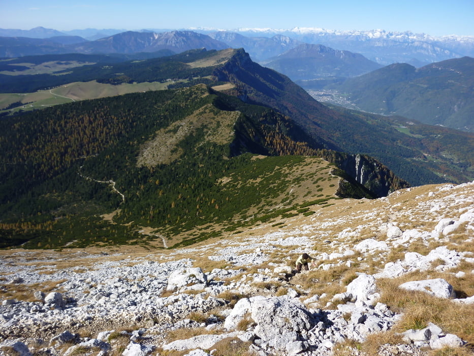
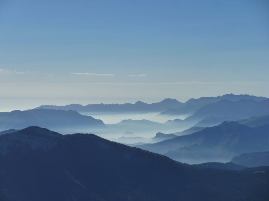
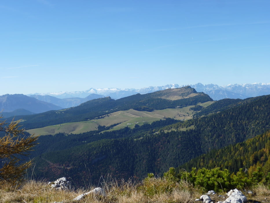
Vom Rifugio Larici (1658 m) folgen wir der Beschilderung Cima Larici dann Cima Portule. Hier reicht der Blick von den Südtiroler Bergen, Belluneser Dolomiten, Monte Grappa, die Carega Gruppe, Richtung Gardasee zum Altissimo & Co und Brenta.
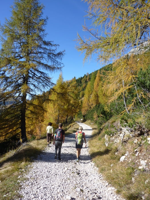
Jetzt geht es immer dem Kamm entlang bis zur Bocchetta Portule wo es Kavernen und Seilbahnstationen vom Ersten Welkrieg zu sehen gibt. Ab hier über Militärstraße zurück zum Auto.
Further information at
http://de.wikipedia.org/wiki/Sieben_Gemeinden_%28Italien%29Tour gallery
Tour map and elevation profile
Minimum height 1617 m
Maximum height 2306 m
More about the tour author
|
|
Califan |
Comments

Ausfahrt Brennerautobahn Trient Nord, folgt der Beschilderung Padova und nach dem Caldonazzosee rx über Caldonazzo und die Kaiserjägerstraße nach Monterovere - Passo Vezzena. Ab hier Richtung Asiago und noch ca. 9 Km dann lx Richtung Rif. Larici (Ausgeschildert).
GPS tracks
Trackpoints-
GPX / Garmin Map Source (gpx) download
-
TCX / Garmin Training Center® (tcx) download
-
CRS / Garmin Training Center® (crs) download
-
Google Earth (kml) download
-
G7ToWin (g7t) download
-
TTQV (trk) download
-
Overlay (ovl) download
-
Fugawi (txt) download
-
Kompass (DAV) Track (tk) download
-
Track data sheet (pdf) download
-
Original file of the author (gpx) download
More about the tour author
|
|
Califan |
Add to my favorites
Remove from my favorites
Edit tags
Open track
My score
Rate