


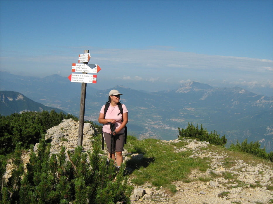
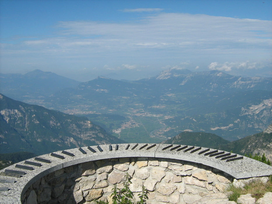
Bella escursione sul punto più alto del gruppo della Vigolana. Il giro non presenta difficoltà tecniche; discreto l'impegno fisico richiesto. Veramente notevole il panorama offerto da questa cima. L’itinerari termina alla frazione Costa...dove ci si può ricaricare con un ottimo gelato.
Itinerario: Folgaria – sentiero SAT 425 Fino al Becco di Filadonna – monte Cornetto – sentiero SAT 451 fino a Fontanelle – Costa di Folgaria (casetta del gelato).
Tour gallery

Tour map and elevation profile
Minimum height 1129 m
Maximum height 2138 m
More about the tour author
|
|
FOLAMOUR |
Comments

Folgaria, via del Parco: punto di partenza del sentiero SAT 425
GPS tracks
Trackpoints-
GPX / Garmin Map Source (gpx) download
-
TCX / Garmin Training Center® (tcx) download
-
CRS / Garmin Training Center® (crs) download
-
Google Earth (kml) download
-
G7ToWin (g7t) download
-
TTQV (trk) download
-
Overlay (ovl) download
-
Fugawi (txt) download
-
Kompass (DAV) Track (tk) download
-
Track data sheet (pdf) download
-
Original file of the author (gpx) download
More about the tour author
|
|
FOLAMOUR |
Add to my favorites
Remove from my favorites
Edit tags
Open track
My score
Rate