


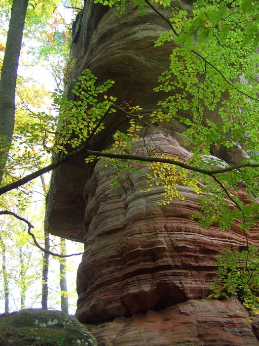
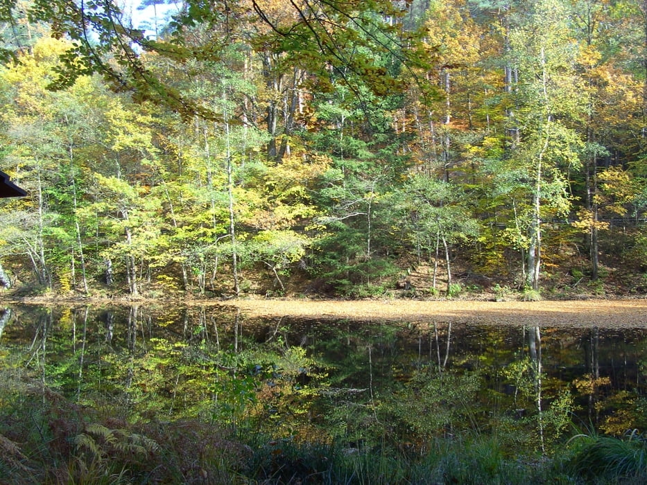
Startpunkt ist der Parkplatz vom Hotel Kupper. Es geht durch den Park entlang des Eppenbrunner Bachs bis zur Klinik und dann abwechselnd hoch und abwärts zum Altschlossfelsen. Diese ca 1,5 km lange Felsformation ist allein schon eine Wanderung wert. Entlang der Felsen geht es bis fast an die franz. Grenze und an dieser entlang abwechselnd ab- und aufwärts zum Staffelskopf. An der Wegkreuzung "Zollstock" wieder links abwärts zu den Weihern und zurück nach Eppenbrunn, wo man dann im wunderschönen Biergarten des Hotels eine Erfrischung nehmen kann.
Tour gallery


Tour map and elevation profile
Minimum height 258 m
Maximum height 432 m
More about the tour author
|
|
kleinkla |
Comments

GPS tracks
Trackpoints-
GPX / Garmin Map Source (gpx) download
-
TCX / Garmin Training Center® (tcx) download
-
CRS / Garmin Training Center® (crs) download
-
Google Earth (kml) download
-
G7ToWin (g7t) download
-
TTQV (trk) download
-
Overlay (ovl) download
-
Fugawi (txt) download
-
Kompass (DAV) Track (tk) download
-
Track data sheet (pdf) download
-
Original file of the author (gpx) download
More about the tour author
|
|
kleinkla |
Add to my favorites
Remove from my favorites
Edit tags
Open track
My score
Rate