Login

Forgotten password?

Cookies have to be accepted!
Your browser's cookie functionality is disabled. Please enable this functionality.

Not a member yet?

Register now
Login

Available for registred users only

Log in to use this feature.

Forgotten password?

Cookies have to be accepted!
Your browser's cookie functionality is disabled. Please enable this functionality.

Not a member yet?

Register now
Filter
Categories
Advanced filters
  • Distance (km)
  • Height
Save filters Reset filter

TrackRank

QRCode

Technical data

Distance34,7 km Height308 m Way down314 m Duration01:30 h:m Date01.11.2012
Scores Author Landscape Fun factor Fitness Technique

Statistics

263 Views Scores 13 Downloads Average
Rate
  • Track data sheet
  • Directions
  • Downloads

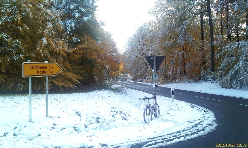
Von Zeil am Main via Krum in die Hassberge. An Altershausen vorbei, bis hoch zum "roten Marder". Das die Höhe hinter Hofstetten. Da rechts ab, ein Stück auf dem chaussierten Rennweg bis Bühl. Da weiter über Pettstadt und Kirchlauter wieder runter in das Ebelsbachtal nach Ebelsbach. Weiter im Maintal nach Zeil zurück. Alles wenig befahrene Bundesstrassen.


Tour gallery

Tour map and elevation profile

  • Open Street Map
  • Google
Minimum height 225 m Maximum height 441 m Detailed view

More about the tour author

Astro
Member since 2009

Send private message

Comments

Zeil am Main liegt ca. in der Mitte von Schweinfurt und Bamberg


GPS tracks

Trackpoints
  • GPX / Garmin Map Source (gpx) download
  • TCX / Garmin Training Center® (tcx) download
  • CRS / Garmin Training Center® (crs) download
  • Google Earth (kml) download
  • G7ToWin (g7t) download
  • TTQV (trk) download
  • Overlay (ovl) download
  • Fugawi (txt) download
  • Kompass (DAV) Track (tk) download
  • Track data sheet (pdf) download
  • Original file of the author (gpx) download

More about the tour author

Astro
Member since 2009

Send private message
Share track
Add to my favorites
Remove from my favorites
Edit tags
My score
Rate
Track: Von Zeil am Main in eine kleine Hassberg- Runde
Type: Road biking
Distance: 34,7 km
Evaluated on:
Duration:
Day(s)
Hour(s)
Minute(s)
Score: Landscape Fun factor Fitness Technique