


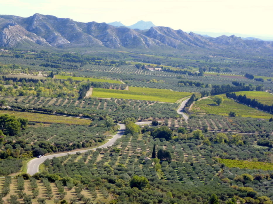
Herrliche Wanderung vielfach durch Pinienwälder mit schönen Ausblicken auf die Bergwelt
Überwiegend gut markiert
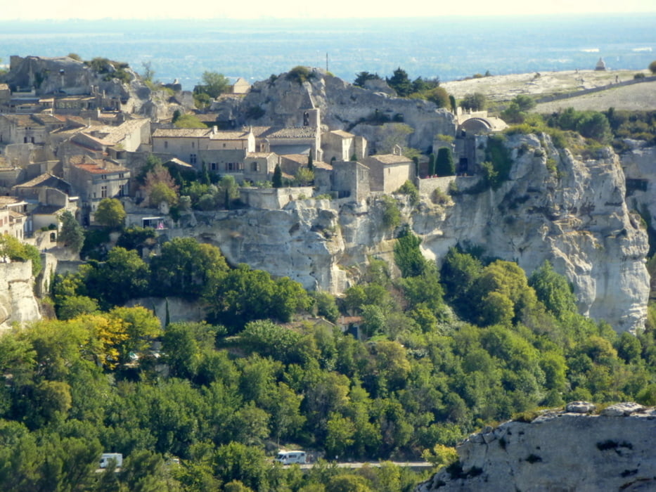
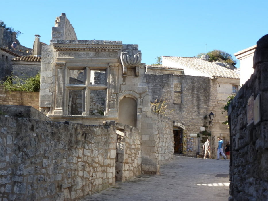
http://de.wikipedia.org/wiki/Les_Baux-de-Provence
http://www.france-voyage.com/frankreich-gemeinden/les-baux-de-provence-1459.htm
http://www.daswetter.com/wetter_Les+Baux+de+Provence-Europa-Frankreich-Bouches+du+Rhone--1-39876.html
Further information at
http://de.wikipedia.org/wiki/St-Gabriel_de_TarasconTour gallery
Tour map and elevation profile
Minimum height 12 m
Maximum height 273 m
More about the tour author
|
|
horst1508 |
Comments

Von der Innenstadt von Tarascon habe ich ein Taxi zur Chapelle Saint-Gabriel genommen.
43° 46′ 00″ Nord
4° 41′ 42″ Est
Dort beginnt der Einstige an den weiß-roten Markierungen des Grande Randonnée (Fernwanderweg)
GPS tracks
Trackpoints-
GPX / Garmin Map Source (gpx) download
-
TCX / Garmin Training Center® (tcx) download
-
CRS / Garmin Training Center® (crs) download
-
Google Earth (kml) download
-
G7ToWin (g7t) download
-
TTQV (trk) download
-
Overlay (ovl) download
-
Fugawi (txt) download
-
Kompass (DAV) Track (tk) download
-
Track data sheet (pdf) download
-
Original file of the author (gpx) download
More about the tour author
|
|
horst1508 |
Add to my favorites
Remove from my favorites
Edit tags
Open track
My score
Rate