


Trarego - Il Colle - Cima di Morissolo - Alpe Morissolo - Alpe Ronno - Oggiogno - Cannero
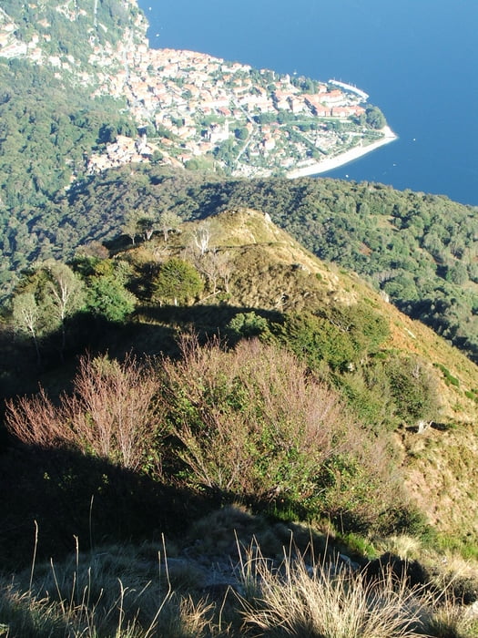
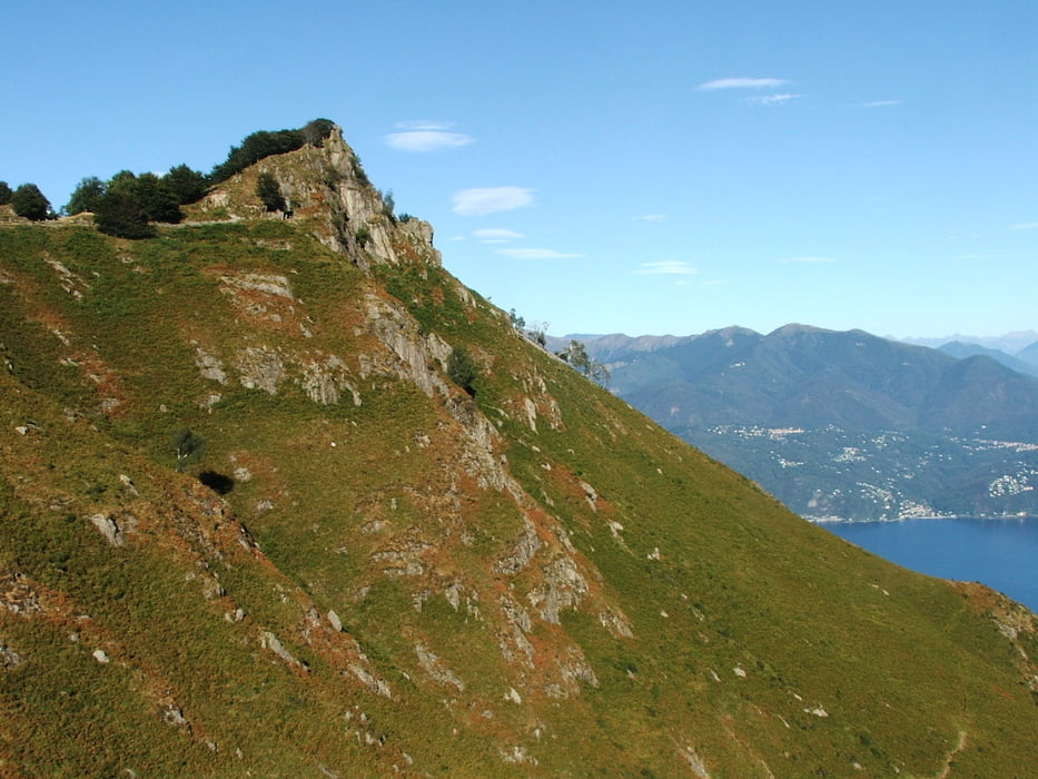
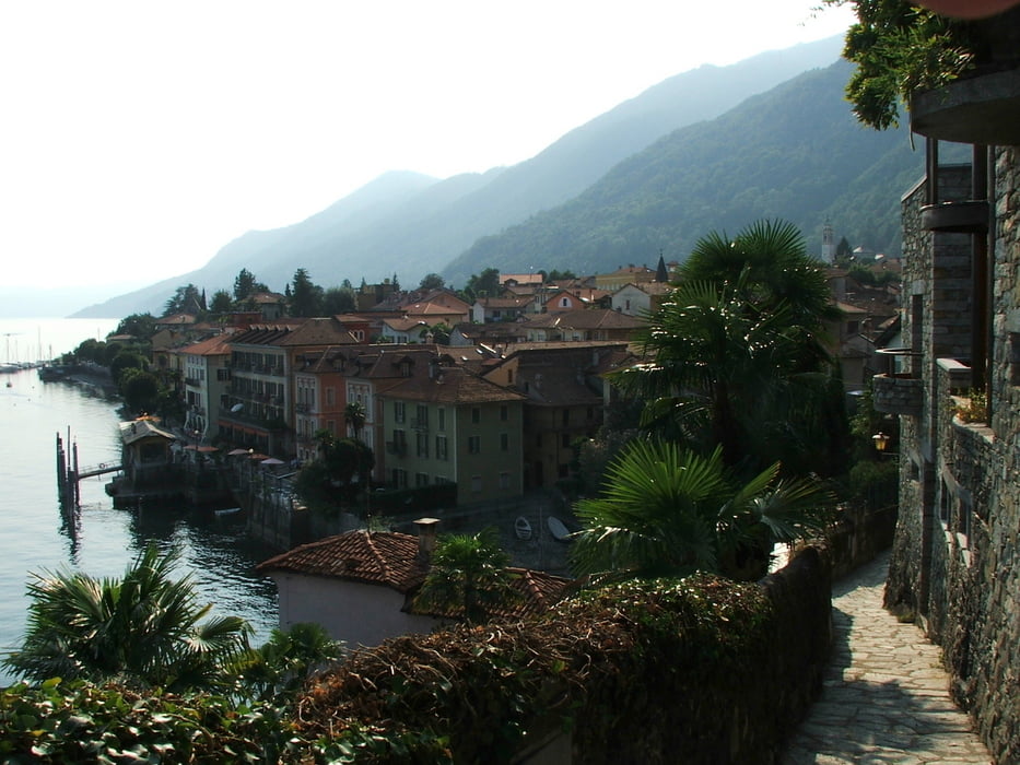
Allmählicher Aufstieg von Trarego über Il Colle zur Cima di Morissolo. Die Schleife am Gipfel sollte wie im Track vorgesehen, also gegen den Uhrzeigersinn, gegangen werden. Der Weg durch einen Tunnel ist so besser zu finden, und eine kurze Kletterei ist in dieser Richtung, nämlich nach oben, leichter. Von da aus Tiefblick auf Cannero und den Lago Maggiore. Steiler Abstieg nach Cannero.
Tour gallery
Tour map and elevation profile
Minimum height 240 m
Maximum height 1310 m
More about the tour author
|
|
lothardomnik |
Comments

Von Cannero nach Trarego fährt nur frühmorgens und mittags ein Bus.
GPS tracks
Trackpoints-
GPX / Garmin Map Source (gpx) download
-
TCX / Garmin Training Center® (tcx) download
-
CRS / Garmin Training Center® (crs) download
-
Google Earth (kml) download
-
G7ToWin (g7t) download
-
TTQV (trk) download
-
Overlay (ovl) download
-
Fugawi (txt) download
-
Kompass (DAV) Track (tk) download
-
Track data sheet (pdf) download
-
Original file of the author (gpx) download
More about the tour author
|
|
lothardomnik |
Add to my favorites
Remove from my favorites
Edit tags
Open track
My score
Rate