


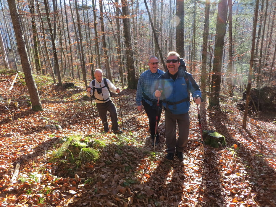
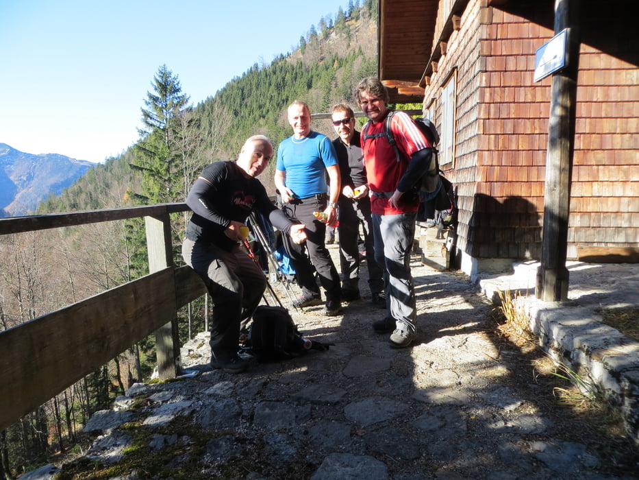
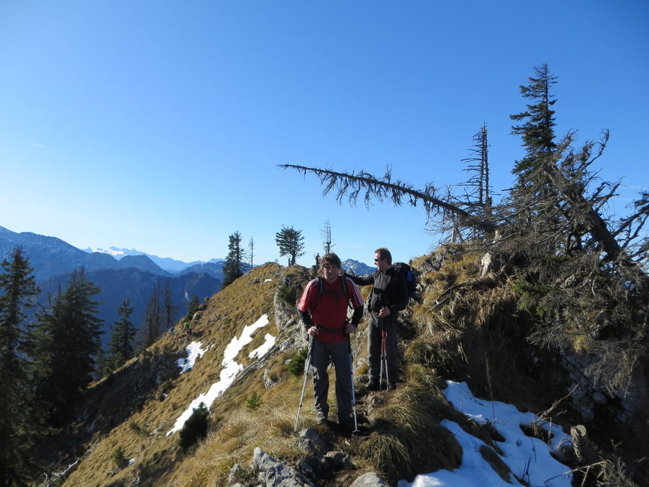
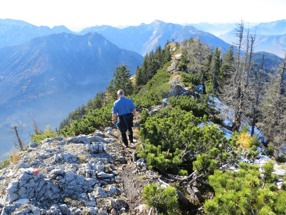
Offenseetal (649m), aus Ebensee kommend ca. 7 km kurz vor einer Brücke ist der Einstieg und ein kleiner Parkplatz. Zuerst geht es steil durch einen Wald zur Hiaslalm 1074m. Dann weiter auf einem ZickZack-Steig bis zum Grat der dann zum Gipfelkreuz führt. Der Gipfelbereich ist stellenweise ausgesetzt (Trittsicherheit und Schwindelfreiheit notwendig). Sehr schöner Aussichtsberg mit einem besonderem Gipfelkreuz . Aufstieg ca.2-3 Stunden, keine Einkehrmöglichkeit!
mehr Bilder: seppdepp.heim.at
Tour gallery
Tour map and elevation profile
Minimum height 638 m
Maximum height 1605 m
More about the tour author
|
|
Atzbach |
Comments

GPS tracks
Trackpoints-
GPX / Garmin Map Source (gpx) download
-
TCX / Garmin Training Center® (tcx) download
-
CRS / Garmin Training Center® (crs) download
-
Google Earth (kml) download
-
G7ToWin (g7t) download
-
TTQV (trk) download
-
Overlay (ovl) download
-
Fugawi (txt) download
-
Kompass (DAV) Track (tk) download
-
Track data sheet (pdf) download
-
Original file of the author (gpx) download
More about the tour author
|
|
Atzbach |
Add to my favorites
Remove from my favorites
Edit tags
Open track
My score
Rate