


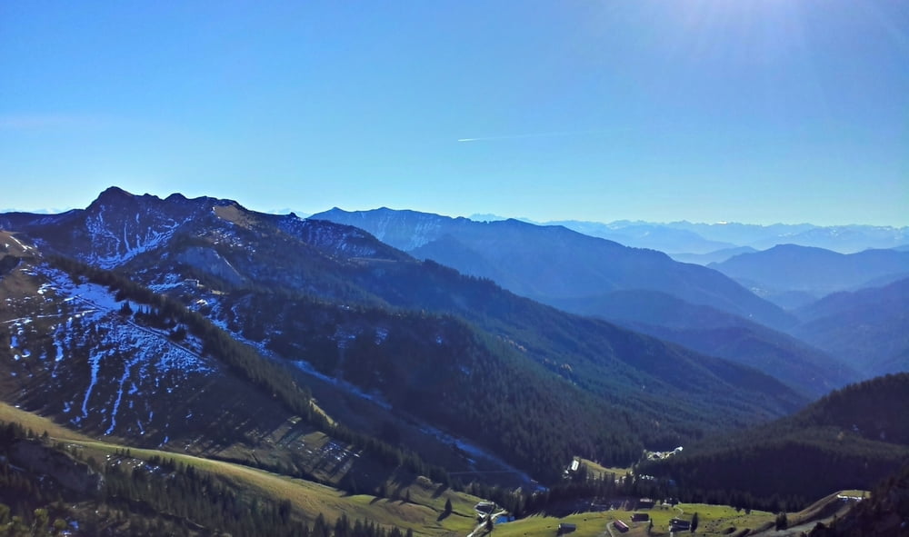
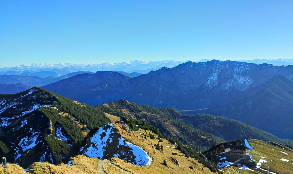
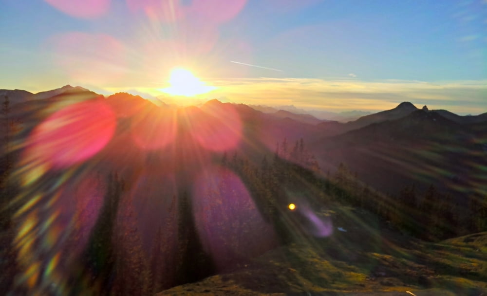
Lange Bergtour mit vielen wunderbaren Aussichten, gute Kondition und Trittsicherheit nötig, alter Weg auf den Jägerkamp offiziell aufgelassen, Begehen auf eigene Gefahr, aber eindrucksvoll, ggf. neuen Weg nehmen oder direkt zur Rotwand gehen.
Vom Spitzingsattel über den alten Weg zur Jägerbauernalm und über den Nordgrat auf den Jägerkamp, weiter über den Rauhkopf und den Taubenstein auf die Rotwand und zum Rotwandhaus, dann zurück über die Wildfeldalm den Fahrweg nach Spitzingsee und Spitzingsattel.
Über die A8 nach Miesbach und Schliersee, weiter zum Spitzingsattel, hier kostenpflichtige Parkplätze.
Tour gallery
Tour map and elevation profile
Minimum height 945 m
Maximum height 1882 m
More about the tour author

|
drfwalter |
Comments

Über die A8 nach Miesbach und Schliersee, weiter zum Spitzingsattel, hier kostenpflichtige Parkplätze.
GPS tracks
Trackpoints-
GPX / Garmin Map Source (gpx) download
-
TCX / Garmin Training Center® (tcx) download
-
CRS / Garmin Training Center® (crs) download
-
Google Earth (kml) download
-
G7ToWin (g7t) download
-
TTQV (trk) download
-
Overlay (ovl) download
-
Fugawi (txt) download
-
Kompass (DAV) Track (tk) download
-
Track data sheet (pdf) download
-
Original file of the author (gpx) download
More about the tour author
|
|
drfwalter |
Add to my favorites
Remove from my favorites
Edit tags
Open track
My score
Rate