


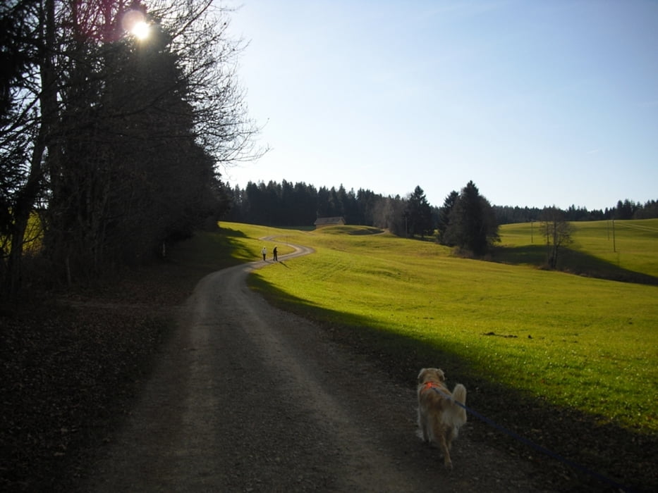
Wanderung von Oberreute (D) nach Sulzberg(A) auf dem Grenzerpfad. Start der Tour ist
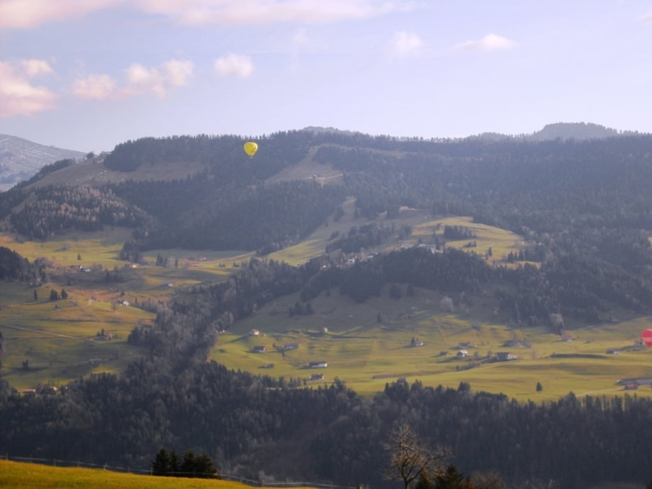
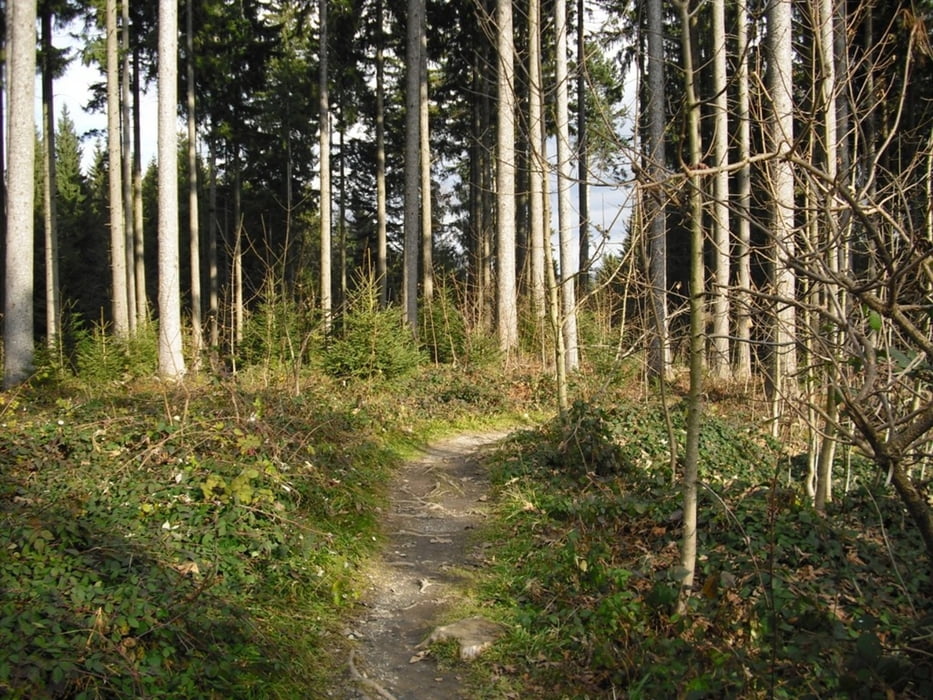
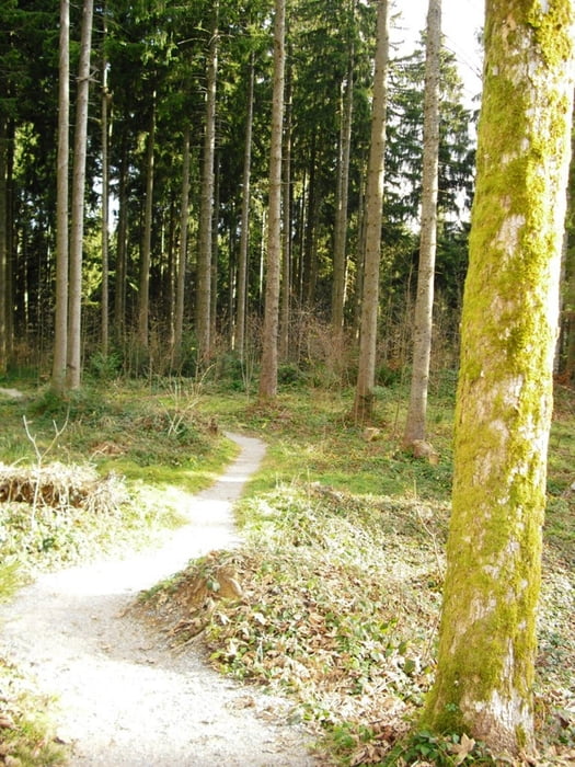
beim Freibad in Oberreute und auf schönen Wander und Forstwegen kommen wir nach Sulzberg. Beim Gasthaus Hochsträss gibts eine Einkehrmöglichkeit mit grandiosem Ausblick auf die Allgäuer und Bregenzerwälder Berge. Am Rückweg kommen wir noch zur einer Aussichts Plattform mit Blick auf die Nagelfluhkette. Vor Oberreute gehts noch auf die Martinshöhe und zurück zum Parkplatz beim Skilift.
Further information at
http://www.oberreute.deTour gallery
Tour map and elevation profile
Minimum height 845 m
Maximum height 1045 m
More about the tour author
|
|
Bockrider |
Comments
Auf der B308 Deutsche Alpenstrasse bis Oberreute. Parkmöglichkeit (kostenlos) beim Freibad bzw. Skilift.
GPS tracks
Trackpoints-
GPX / Garmin Map Source (gpx) download
-
TCX / Garmin Training Center® (tcx) download
-
CRS / Garmin Training Center® (crs) download
-
Google Earth (kml) download
-
G7ToWin (g7t) download
-
TTQV (trk) download
-
Overlay (ovl) download
-
Fugawi (txt) download
-
Kompass (DAV) Track (tk) download
-
Track data sheet (pdf) download
-
Original file of the author (gpx) download
More about the tour author
|
|
Bockrider |
Add to my favorites
Remove from my favorites
Edit tags
Open track
My score
Rate
Nette Runde