
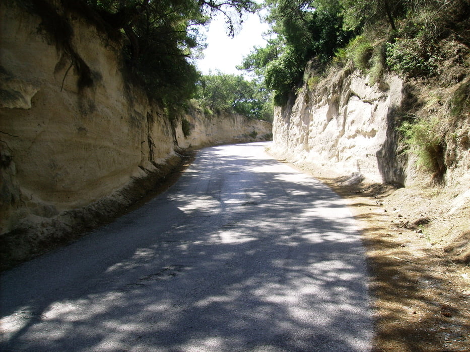

Vorsicht ist auf Kos geboten, wenn man auf "asphaltierten" Straßen (auch auf Hauptverkehrswegen) unterwegs ist. Plötzlich sind auf der Fahrbahn Schlaglöcher aller Größen...
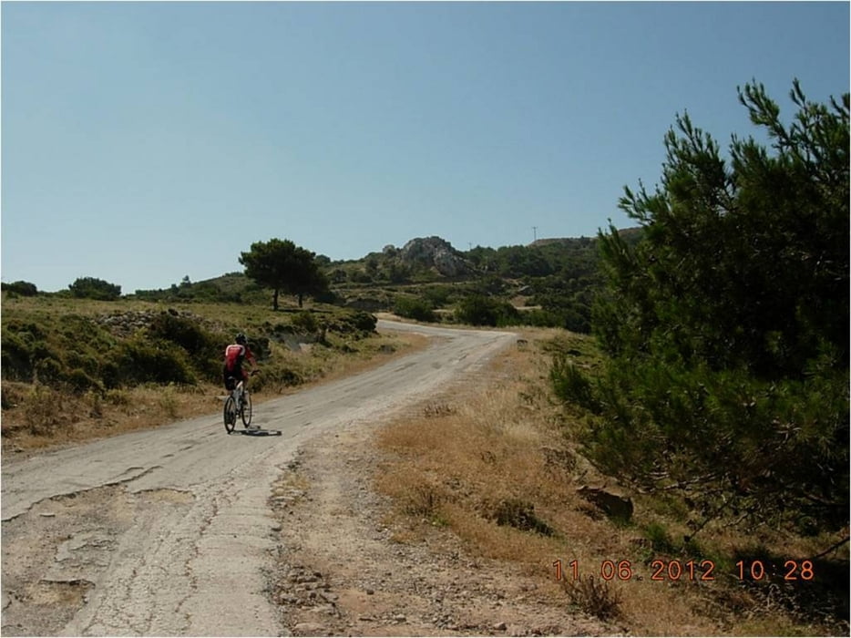
Die einheimischen Autofahrer sind sehr rücksichtsvoll. Man wird angehupt als Zeichen, dass man gesehen wurde und das ist auch so aufzufassen! Die Wege sind teilweise ausgewaschen...
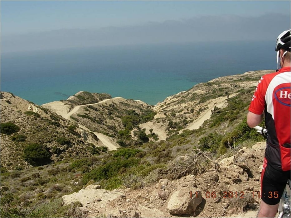
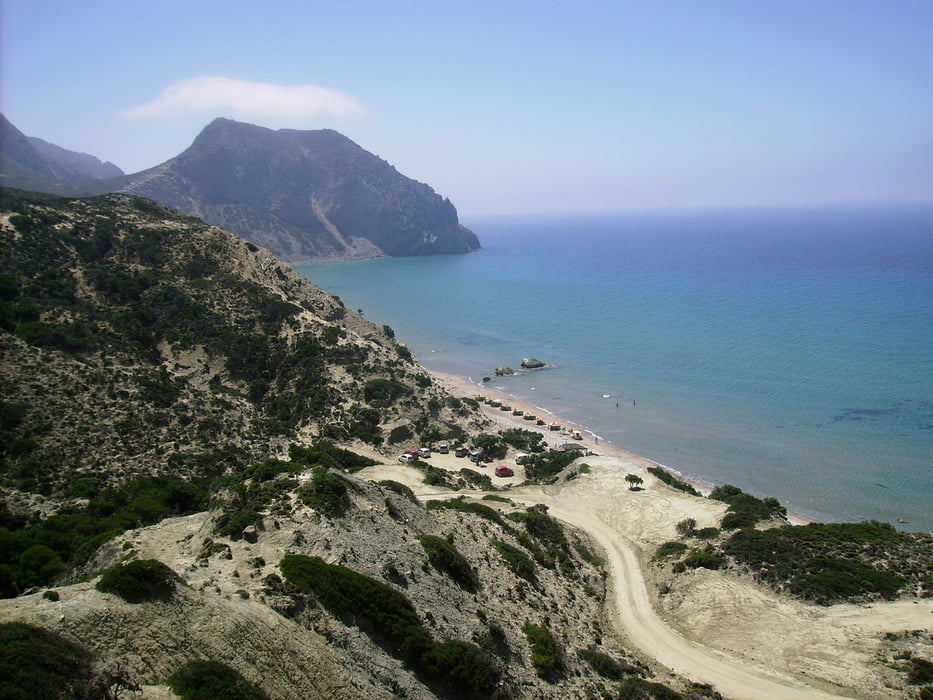
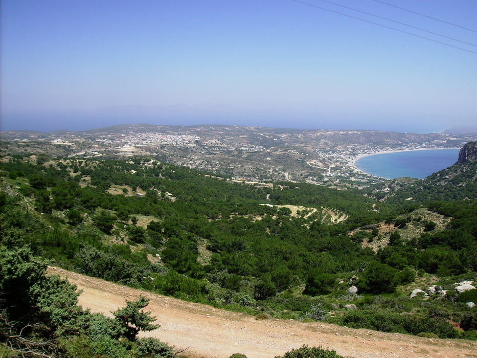
Tour gallery
Tour map and elevation profile
Minimum height 41 m
Maximum height 314 m
More about the tour author

|
Hafi |
Comments

GPS tracks
Trackpoints-
GPX / Garmin Map Source (gpx) download
-
TCX / Garmin Training Center® (tcx) download
-
CRS / Garmin Training Center® (crs) download
-
Google Earth (kml) download
-
G7ToWin (g7t) download
-
TTQV (trk) download
-
Overlay (ovl) download
-
Fugawi (txt) download
-
Kompass (DAV) Track (tk) download
-
Track data sheet (pdf) download
-
Original file of the author (gpx) download
More about the tour author
|
|
Hafi |
Add to my favorites
Remove from my favorites
Edit tags
Open track
My score
Rate