Login

Forgotten password?

Cookies have to be accepted!
Your browser's cookie functionality is disabled. Please enable this functionality.

Not a member yet?

Register now
Login

Available for registred users only

Log in to use this feature.

Forgotten password?

Cookies have to be accepted!
Your browser's cookie functionality is disabled. Please enable this functionality.

Not a member yet?

Register now
Filter
Categories
Advanced filters
  • Distance (km)
  • Height
Save filters Reset filter

TrackRank

QRCode

Technical data

Distance27,8 km Height475 m Way down481 m Duration03:50 h:m Date04.12.2012
Scores Author Landscape Fun factor Fitness Technique

Statistics

285 Views Scores 8 Downloads Average
Rate
  • Track data sheet
  • Directions
  • Downloads

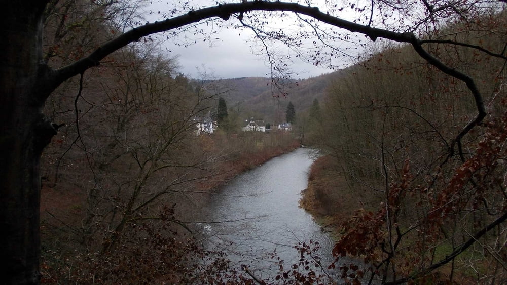
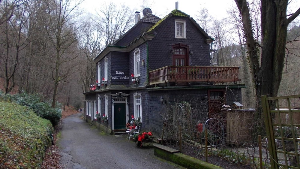
Nach Start an der Stadtgrenze zwischen Wuppertal und Solingen - geht es durch eine Wohnsiedlung und bald durch nettes ländliches Gebiet hinunter zur Wupper.

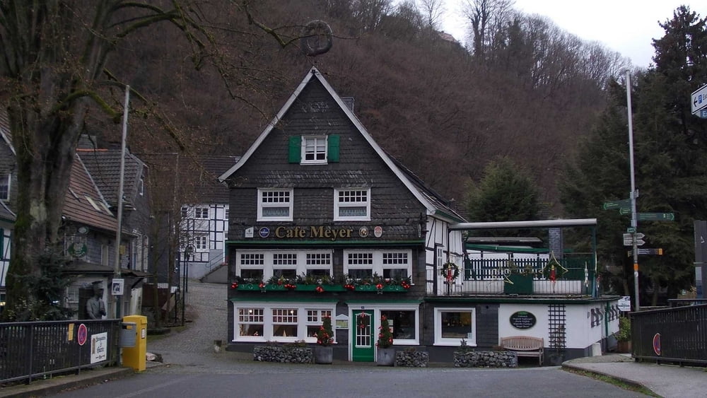
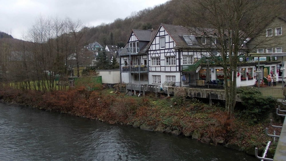
Wir folgen der Wupper, unter der Müngstener Brücke hindurch, nach Unterburg.

Wir steigen in den O-Bus und fahren für Preisgruppe A (z.Z. 2.40 €) zurück zum Ausgangspunkt, der Haltestelle "Roßkamper Str.".


Tour gallery

Tour map and elevation profile

  • Open Street Map
  • Google
Minimum height 92 m Maximum height 274 m Detailed view

More about the tour author

Uerigefan
Member since 2009

Send private message

Comments

Auto Navi: Roßkamperstr. , 42329 Wuppertal


GPS tracks

Trackpoints
  • GPX / Garmin Map Source (gpx) download
  • TCX / Garmin Training Center® (tcx) download
  • CRS / Garmin Training Center® (crs) download
  • Google Earth (kml) download
  • G7ToWin (g7t) download
  • TTQV (trk) download
  • Overlay (ovl) download
  • Fugawi (txt) download
  • Kompass (DAV) Track (tk) download
  • Track data sheet (pdf) download
  • Original file of the author (gpx) download

More about the tour author

Uerigefan
Member since 2009

Send private message
Share track
Add to my favorites
Remove from my favorites
Edit tags
My score
Rate
Track: Dasnöckel bis Unterburg -- mit dem O-Bus zurück
Type: Hiking
Distance: 27,8 km
Evaluated on:
Duration:
Day(s)
Hour(s)
Minute(s)
Score: Landscape Fun factor Fitness Technique