


- Start: Meran/Marling-Marlingerbrücke(grosser Parkplatz)
- Meran-Gampenpass: Hauptstrasse(am frühen Morgen wenig Verkehr)
- Gampenpass-Castelfondo: Forstrstrasse
- Castelfondo-Cles: Landstrasse(mässiger Verkehr)
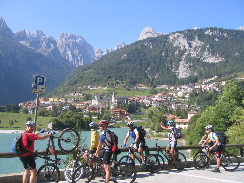
- Cles-Molveno: Nebenstrassen-Forstwege(Anstieg Andalo kurze steile Abschnitte)
- Molveno-Ranzo: Forststrasse-am Beginn ansteigend.
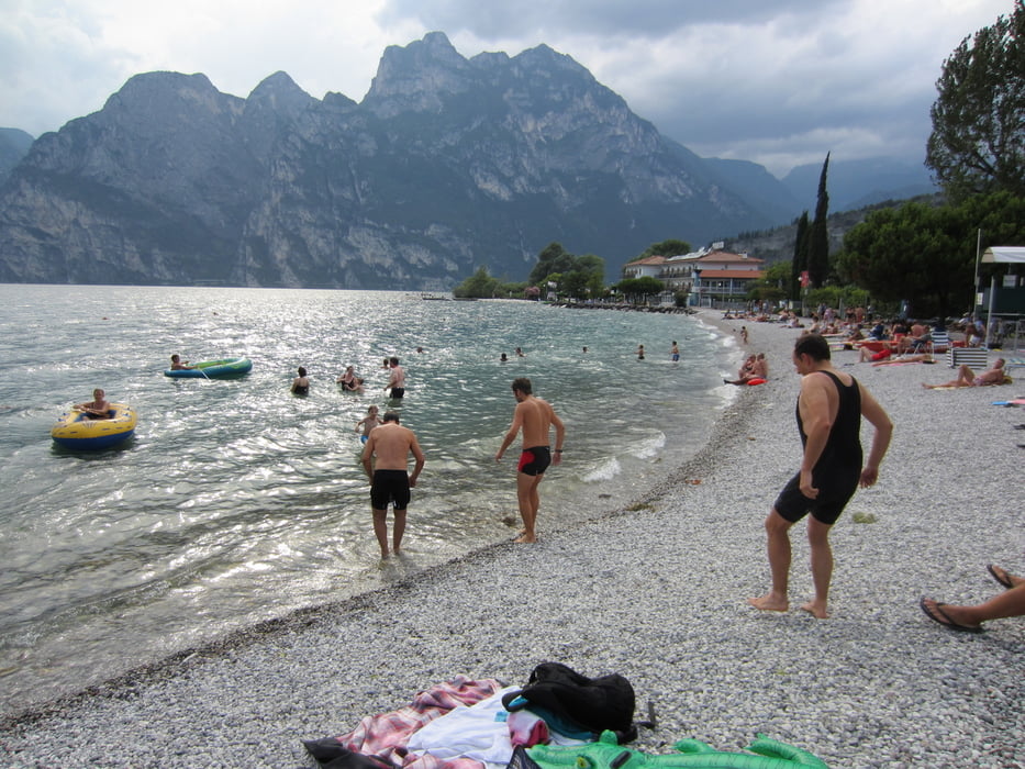
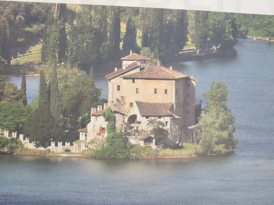
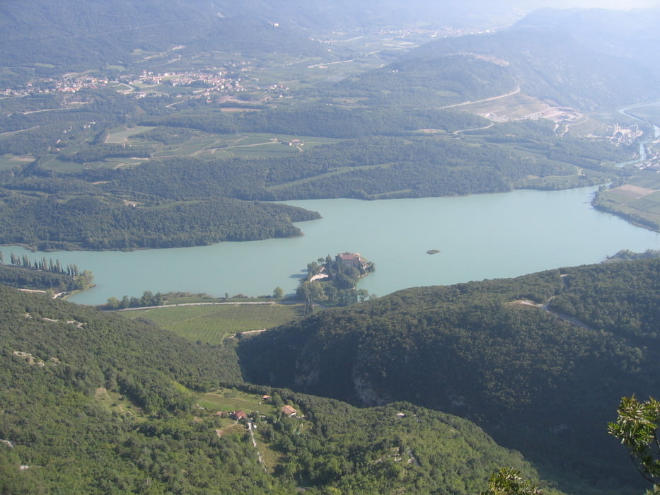
- Ranzo-Toblino: In Fels gehauene Panoramastrasse, oder Ranzo-Topblino sehr steile direkte Abfahrt.
- Toblino-Torbole: Radweg-Forststrasse
- Ziel: Track-Ende(Restaurand-Pizzeria-Garten-grosser Parkplatz) abseits vom Strand-Getümmel.
fg/hh
Tour gallery
Tour map and elevation profile
Minimum height 63 m
Maximum height 1528 m
More about the tour author
|
|
MargesinFriedrich |
Comments

Meran-Marlinger Brücke-Pickolohotel(öffentlicher Parkplatz)
GPS tracks
Trackpoints-
GPX / Garmin Map Source (gpx) download
-
TCX / Garmin Training Center® (tcx) download
-
CRS / Garmin Training Center® (crs) download
-
Google Earth (kml) download
-
G7ToWin (g7t) download
-
TTQV (trk) download
-
Overlay (ovl) download
-
Fugawi (txt) download
-
Kompass (DAV) Track (tk) download
-
Track data sheet (pdf) download
-
Original file of the author (gpx) download
More about the tour author
|
|
MargesinFriedrich |
Add to my favorites
Remove from my favorites
Edit tags
Open track
My score
Rate