Login

Forgotten password?

Cookies have to be accepted!
Your browser's cookie functionality is disabled. Please enable this functionality.

Not a member yet?

Register now
Login

Available for registred users only

Log in to use this feature.

Forgotten password?

Cookies have to be accepted!
Your browser's cookie functionality is disabled. Please enable this functionality.

Not a member yet?

Register now
Filter
Categories
Advanced filters
  • Distance (km)
  • Height
Save filters Reset filter

TrackRank

QRCode

Technical data

Distance72,1 km Height928 m Way down936 m Duration00:00 h:m Date07.12.2012
Scores Author User Landscape Fun factor Fitness Technique

Statistics

1299 Views Scores 150 Downloads Average
Rate
  • Track data sheet
  • Directions
  • Downloads

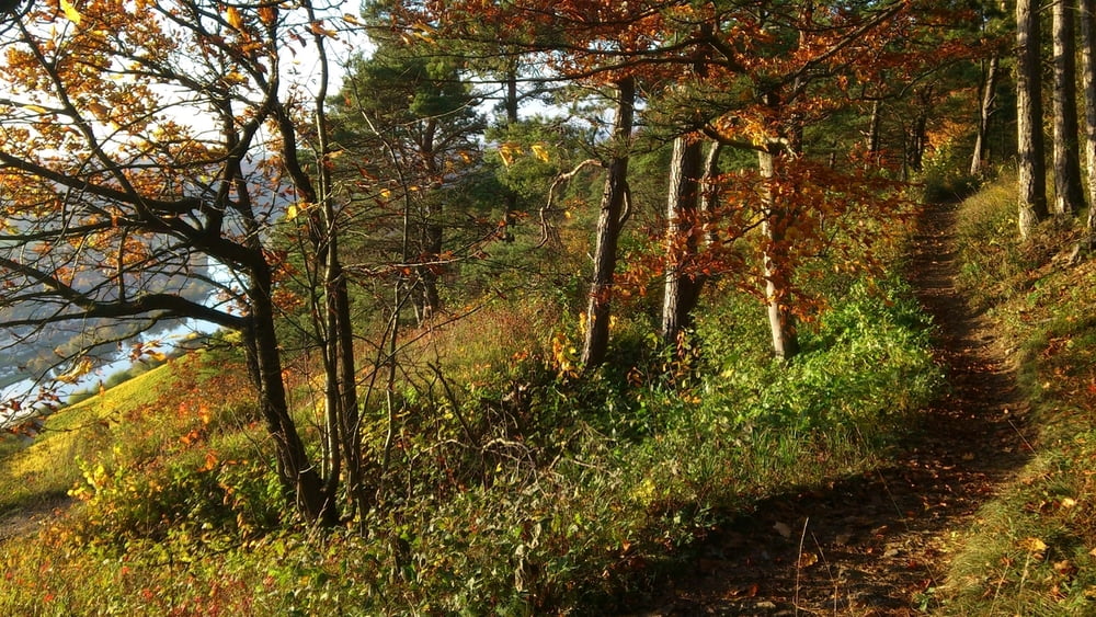
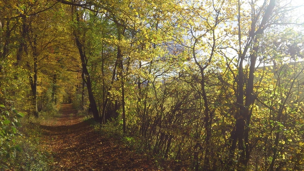
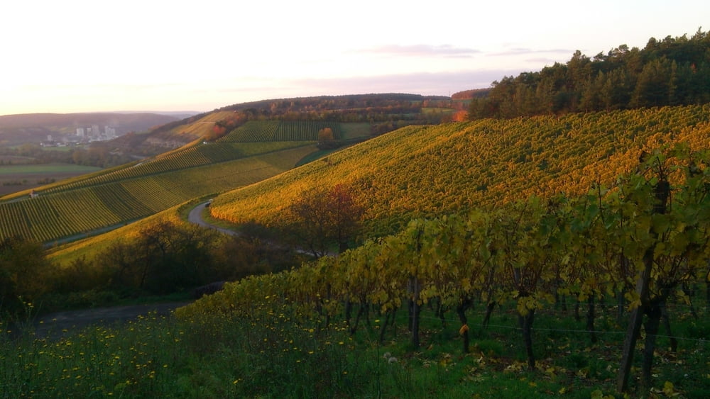
Speziell im Herbst eine wunderschöne Trailtour entlang an den Weinbergen zwischen Veitshöchheim und Karlstadt mit vielen Singletrails. Basiert oft auf dem Mainwanderweg. Ab Karlstadt am Main entlang auf asphaltiertem Radweg zurückrollen.

Rad: Race-/Touren-/AM-Fully, ggf. Hardtail

Tipp: Start in WÜ je nach Verkehrslage wählen
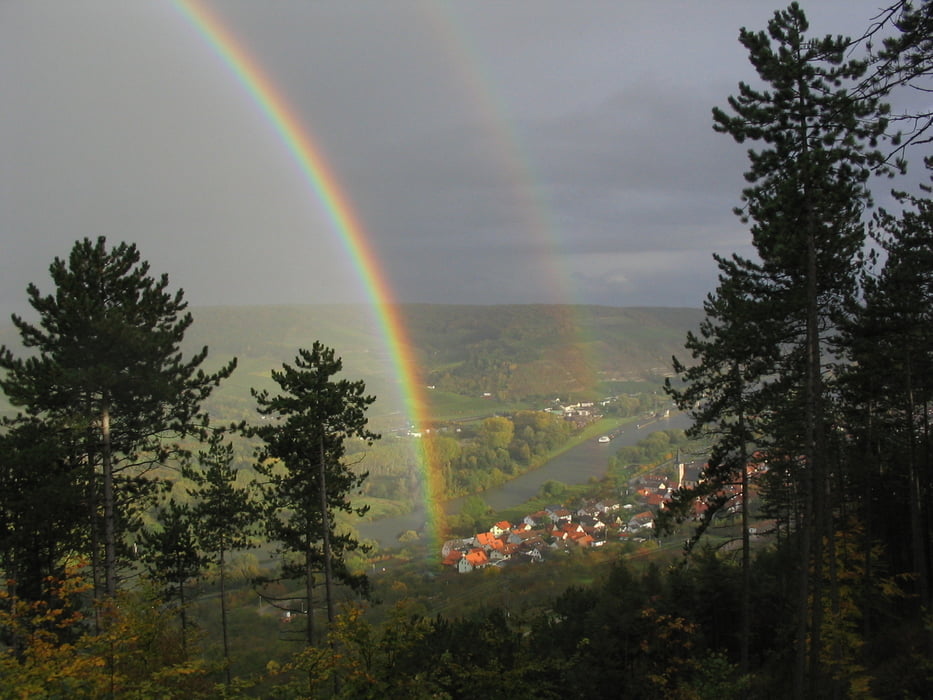
 

Tour gallery

Tour map and elevation profile

  • Open Street Map
  • Google
Minimum height 148 m Maximum height 370 m Detailed view

More about the tour author

Markusso
Member since 2008

Send private message

Comments

Anfahrt nach WÜ über A3, Ausfahrt Randersacker, dann in Wü am Ortseingan parken, zB Luckner-Weiher


GPS tracks

Trackpoints
  • GPX / Garmin Map Source (gpx) download
  • TCX / Garmin Training Center® (tcx) download
  • CRS / Garmin Training Center® (crs) download
  • Google Earth (kml) download
  • G7ToWin (g7t) download
  • TTQV (trk) download
  • Overlay (ovl) download
  • Fugawi (txt) download
  • Kompass (DAV) Track (tk) download
  • Track data sheet (pdf) download
  • Original file of the author (gpx) download

More about the tour author

Markusso
Member since 2008

Send private message
Share track
Add to my favorites
Remove from my favorites
Edit tags
My score
Rate
Track: Auf Trails von Würzburg nach Karlstadt - am Main zurück
Type: Mountain bike
Distance: 72,1 km
Evaluated on:
Duration:
Day(s)
Hour(s)
Minute(s)
Score: Landscape Fun factor Fitness Technique