
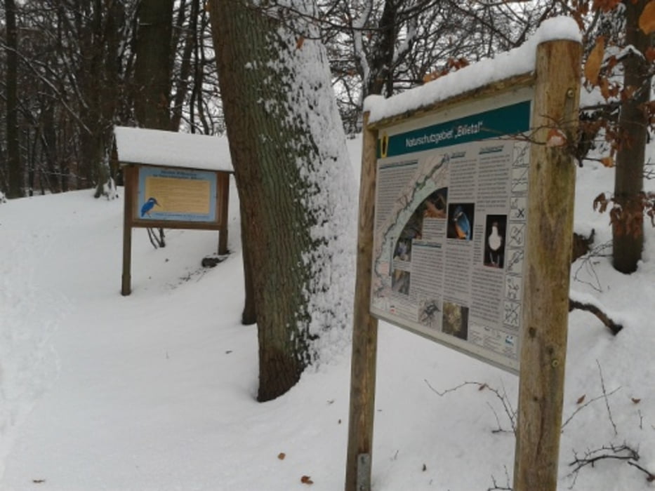

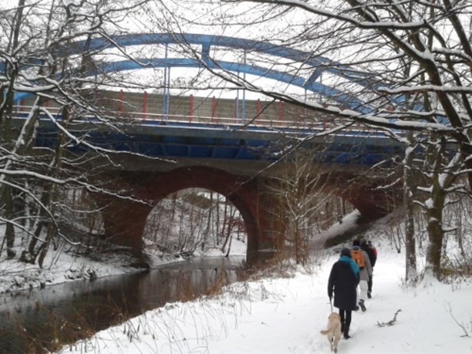
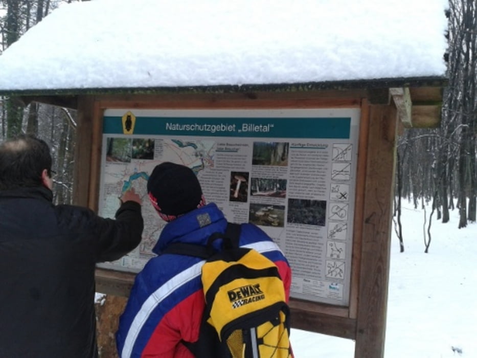
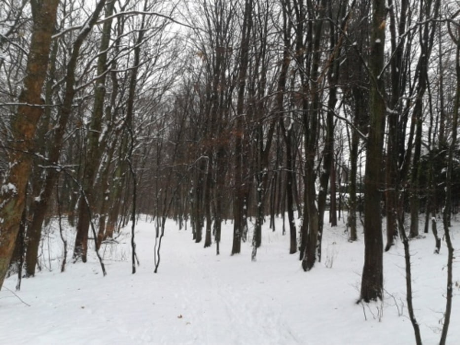
Die Tour ist gute 12 Kilometer lang, also nicht besonders weit und auch für Mensche geeignet, die einfach nur einen längeren Spaziergang machen wollen. In gemütlichem Tempo ist es ein Weg von ca. 2,5 Stunden (ohne Pausen). Es ist ein Route durch ein schöne Naturschutzgebiet an der Bille entlang.
Tour gallery

Tour map and elevation profile
Minimum height 32 m
Maximum height 130 m
More about the tour author

|
Sternenmaus |
Comments

S 21 von Hamburger Hauptbahnhof über Bergedorf bis Aumühle. Mit dem Auto: Zum Bahnhof Aumühle an der L 314, Nähe Reinbek.
GPS tracks
Trackpoints-
GPX / Garmin Map Source (gpx) download
-
TCX / Garmin Training Center® (tcx) download
-
CRS / Garmin Training Center® (crs) download
-
Google Earth (kml) download
-
G7ToWin (g7t) download
-
TTQV (trk) download
-
Overlay (ovl) download
-
Fugawi (txt) download
-
Kompass (DAV) Track (tk) download
-
Track data sheet (pdf) download
-
Original file of the author (gpx) download
More about the tour author
|
|
Sternenmaus |
Add to my favorites
Remove from my favorites
Edit tags
Open track
My score
Rate