


Unter dem Titel " Wandern auf Tuchers Spuren" wurde am 26.10.2012 in den Nürnberger- / Fürther Nachrichten dieser Wandertipp vorgestellt.
Startpunkt ist der Bahnhof in Simmelsdorf ( gute Parkmöglichkeit! ). Die Wanderung ist mit einem roten Kreis auf weißem Grund gut gekennzeichnet ( Hüttenbacher Rundweg! )
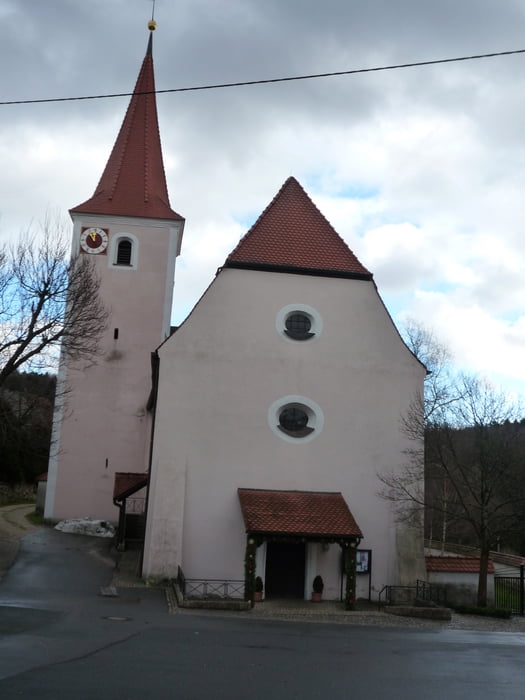
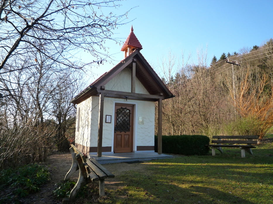
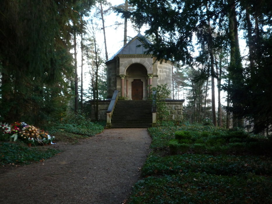
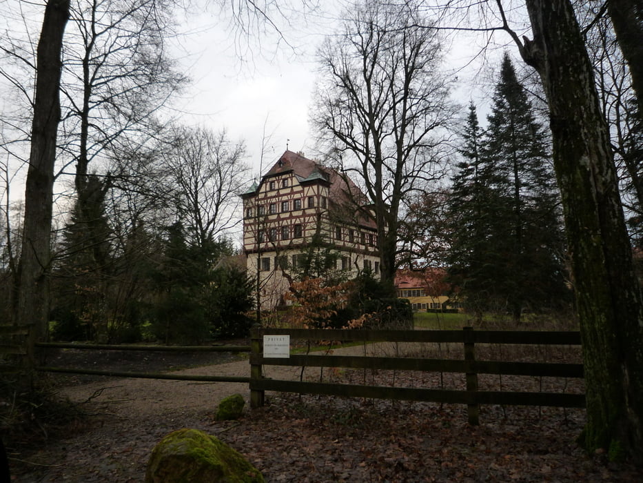
Die Runde ist landschaftlich sehr schön, neben der "Tucher" Kirche in St. Helana werden noch folgende weitere Punkte: Tucher Mausoleum, Tucherschloß der Patrizier Familie passiert.
http://de.wikipedia.org/wiki/Tucher_von_Simmelsdorf
Track bereinigt! Gelaufen Dezember 2012.
Viel Spaß!
Further information at
http://www.nordbayern.de/freizeit/wandern-auf-tuchers-spuren-1.2460306Tour gallery
Tour map and elevation profile
Minimum height 360 m
Maximum height 554 m
More about the tour author
|
|
FLU |
Comments

GPS tracks
Trackpoints-
GPX / Garmin Map Source (gpx) download
-
TCX / Garmin Training Center® (tcx) download
-
CRS / Garmin Training Center® (crs) download
-
Google Earth (kml) download
-
G7ToWin (g7t) download
-
TTQV (trk) download
-
Overlay (ovl) download
-
Fugawi (txt) download
-
Kompass (DAV) Track (tk) download
-
Track data sheet (pdf) download
-
Original file of the author (gpx) download
More about the tour author
|
|
FLU |
Add to my favorites
Remove from my favorites
Edit tags
Open track
My score
Rate