Login

Forgotten password?

Cookies have to be accepted!
Your browser's cookie functionality is disabled. Please enable this functionality.

Not a member yet?

Register now
Login

Available for registred users only

Log in to use this feature.

Forgotten password?

Cookies have to be accepted!
Your browser's cookie functionality is disabled. Please enable this functionality.

Not a member yet?

Register now
Filter
Categories
Advanced filters
  • Distance (km)
  • Height
Save filters Reset filter

TrackRank

QRCode

Technical data

Distance63,5 km Height1366 m Way down1366 m Duration04:00 h:m Date03.01.2013
Scores Author Landscape Fun factor Fitness Technique

Statistics

791 Views 2 Scores 84 Downloads 2.50 Average
Rate
  • Track data sheet
  • Directions
  • Downloads

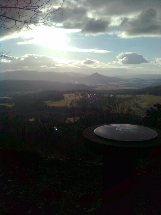
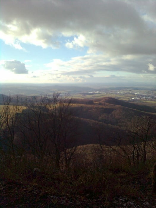
Start und Ziel in Unterhausen, zunächst die Schlosssteige zum Lichtenstein, anschließend asphaltiert und geschottert bis Ringingen über die Albhochfläche, Einstieg in den Dreifürstenstein-Trail mit tollen Ausblicken auf den Hohenzollern, danach Transfer über Talheim, Genkingen bis zur Nebelhöhle auf Schotter und Teer, hübscher Trail zurück nach U'hausen.

Tipps:

  • Teilweise viel bewandert, bitte Acht geben
  • Beim Abfahrtstrail ungünstige Variante gewählt, besser links.
  • Im Winter warm anziehen!
  • Mit gutem Vesper gelingen die Pausen.


Tour gallery

Tour map and elevation profile

  • Open Street Map
  • Google
Minimum height 520 m Maximum height 868 m Detailed view

More about the tour author

Bikonu
Member since 2011

Send private message

Comments

rasirasi on 20.09.2014

ganze Vielfalt der Alb

eine tour die die Alb zeigt: Singeltrails an der Kante, Steigungen und die schöne entspannte Fahrt auf der Hochfläche.

GPS tracks

Trackpoints
  • GPX / Garmin Map Source (gpx) download
  • TCX / Garmin Training Center® (tcx) download
  • CRS / Garmin Training Center® (crs) download
  • Google Earth (kml) download
  • G7ToWin (g7t) download
  • TTQV (trk) download
  • Overlay (ovl) download
  • Fugawi (txt) download
  • Kompass (DAV) Track (tk) download
  • Track data sheet (pdf) download
  • Original file of the author (gpx) download

More about the tour author

Bikonu
Member since 2011

Send private message
Share track
Add to my favorites
Remove from my favorites
Edit tags
My score
Rate
Track: Dreifürstensteintrail
Type: Mountain bike
Distance: 63,5 km
Evaluated on:
Duration:
Day(s)
Hour(s)
Minute(s)
Score: Landscape Fun factor Fitness Technique