


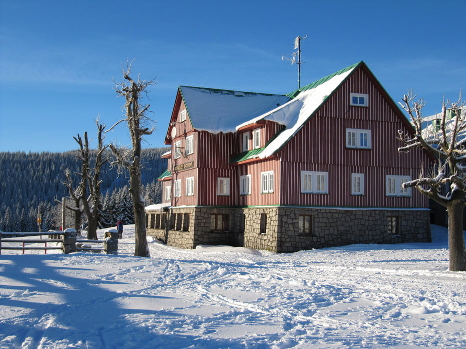
Start und Ziel: Medvedi Bouda oberhalb von Spindler Mlyn
steiler Anstieg zur Martinova Bauda - dort Einkehr möglich
quer über die Buckelpiste hin zur Bradlerovy Bouda - ebenfalls Einkehr möglich
auf der Buckelpiste je nach Schneeverhältnissen Technik erforderlich
von der Bradlerovy Bouda steil hinab zur Medvedi Bouda zurück
Tour gallery

Tour map and elevation profile
Minimum height 1048 m
Maximum height 1271 m
More about the tour author
|
|
schwaran |
Comments

von Deutschland über Zittau und Liberece nach Spindler Mlyn
zu Fuß oder Ski von Spindler Mlyn hoch zur Medvedi Bouda - siehe auch Tour 112894
GPS tracks
Trackpoints-
GPX / Garmin Map Source (gpx) download
-
TCX / Garmin Training Center® (tcx) download
-
CRS / Garmin Training Center® (crs) download
-
Google Earth (kml) download
-
G7ToWin (g7t) download
-
TTQV (trk) download
-
Overlay (ovl) download
-
Fugawi (txt) download
-
Kompass (DAV) Track (tk) download
-
Track data sheet (pdf) download
-
Original file of the author (gpx) download
More about the tour author
|
|
schwaran |
Add to my favorites
Remove from my favorites
Edit tags
Open track
My score
Rate