


Start an der Medvedi Bouda oberhalb von Spindler Mlyn
direkt an der Medvedi nach links in den Weg vorbei an den beiden Häusern, bis zur Brücke und darüber hinweg, kurzer leichter Anstieg, dann schöne, unkritische Abfahrt ins Elbtal
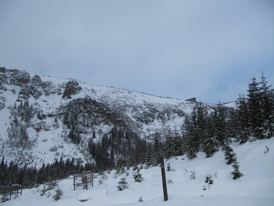
der Blick nach oben zeigt das nächste Etappenziel - die Elbfallbaude (Labska bouda) etwa 250 Höhenmeter weiter oben
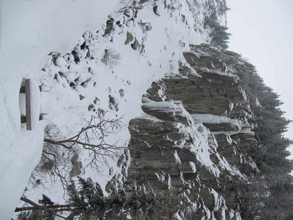
kurzer Fußweg durch eine Schonung bis auf den Weg dort weiter bis zur Brücke, dann in Serpentinen hoch zur Elbfallbaude, von dort in nordwestlicher Richtung zur Vosecka
zurück gleicher Weg oder alternativ über den Kammweg, jedoch wetterabhängig
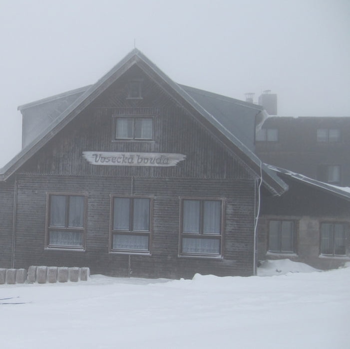
Einkehrmöglichkeiten: Vosecka Bouda (empfohlen) und Labska Bouda (meist sehr kalt)
Tour gallery
Tour map and elevation profile
Minimum height 1037 m
Maximum height 1373 m
More about the tour author
|
|
schwaran |
Comments

von Deutschland über Zittau und Liberece nach Spindler Mlyn
von Spindler Mlyn zur Medvedi Bouda - Tour 112894
GPS tracks
Trackpoints-
GPX / Garmin Map Source (gpx) download
-
TCX / Garmin Training Center® (tcx) download
-
CRS / Garmin Training Center® (crs) download
-
Google Earth (kml) download
-
G7ToWin (g7t) download
-
TTQV (trk) download
-
Overlay (ovl) download
-
Fugawi (txt) download
-
Kompass (DAV) Track (tk) download
-
Track data sheet (pdf) download
-
Original file of the author (gpx) download
More about the tour author
|
|
schwaran |
Add to my favorites
Remove from my favorites
Edit tags
Open track
My score
Rate