


Start und Ziel in Hohnstein
vom Parkplatz aus in Richtung Ortsausgang nach Neustadt/Sebnitz, von Schandauer Straße rechts abbiegen, in Richtung Napoleonschanze
nächstes Ziel ist Waitzdorf --> Einkehrmöglichkeit Waitzdorfer Schänke
Abstieg in Richtung Polenztal und Aufstieg zum Brand --> Einkehrmöglichkeit Brand-Baude
Brandstraße in Richtung Hohnstein, links abbiegen zum Rundweg/Malerweg
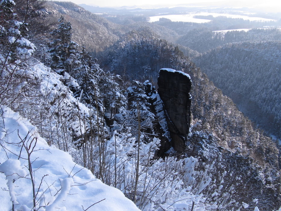
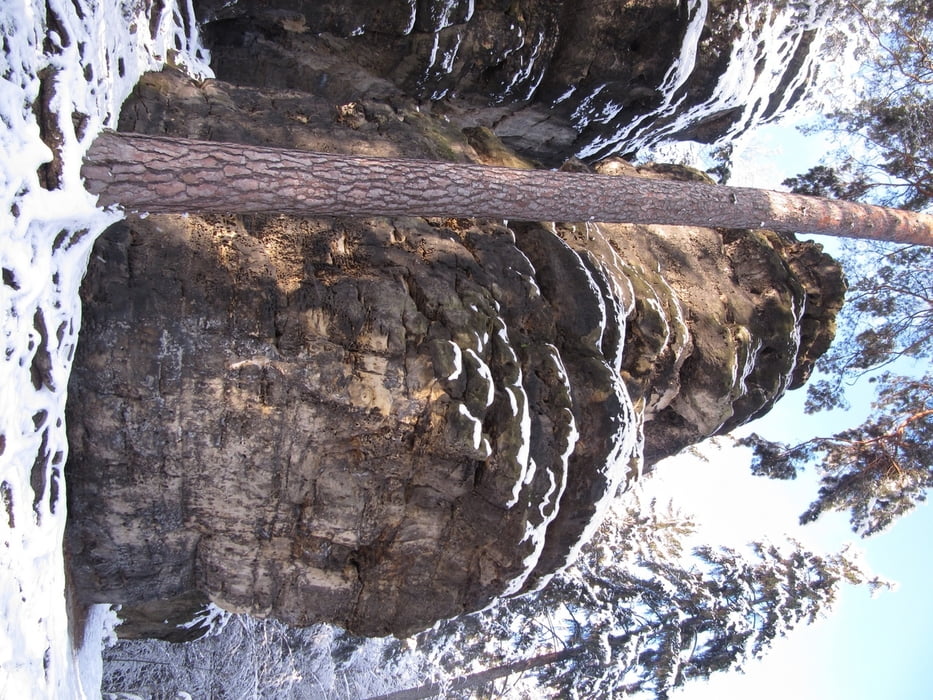
nach etwa 1 km dann Abzweig auf den Begangsteig
Markierung als Kletterzustieg mit schwarzem Dreieck --> sollte daher nur von geübten und trittsicheren Wanderern begangen werden
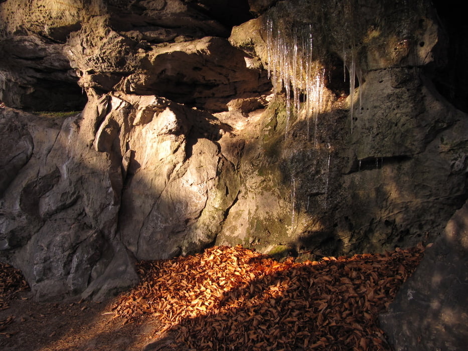
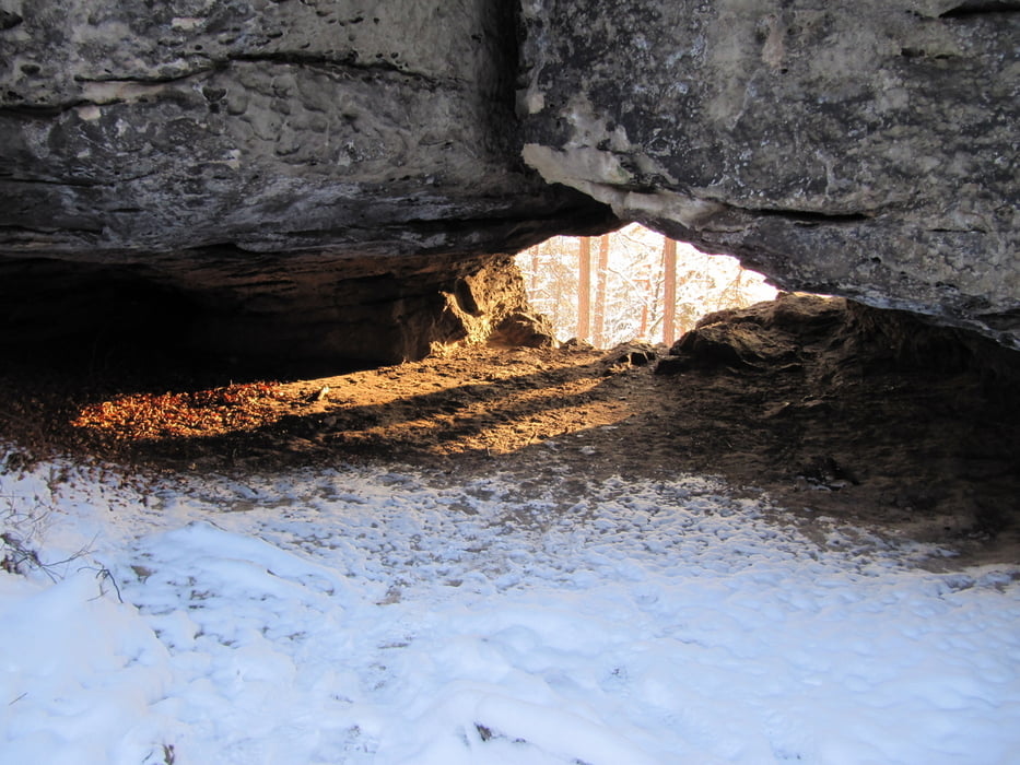
nach etwa 3 km trifft der Steig wieder auf den Malerweg, diesen über die Gautschgrotte zurück nach Hohnstein
Literaturempfehlung: Bergpfade & "andere Pfade" im Sandstein, Band I von Axel Mothes
Tour gallery
Tour map and elevation profile
Minimum height 179 m
Maximum height 398 m
More about the tour author
|
|
schwaran |
Comments

von Pirna, Bad Schandau, Neustadt oder Sebnitz nach Hohnstein
GPS tracks
Trackpoints-
GPX / Garmin Map Source (gpx) download
-
TCX / Garmin Training Center® (tcx) download
-
CRS / Garmin Training Center® (crs) download
-
Google Earth (kml) download
-
G7ToWin (g7t) download
-
TTQV (trk) download
-
Overlay (ovl) download
-
Fugawi (txt) download
-
Kompass (DAV) Track (tk) download
-
Track data sheet (pdf) download
-
Original file of the author (gpx) download
More about the tour author
|
|
schwaran |
Add to my favorites
Remove from my favorites
Edit tags
Open track
My score
Rate