Login

Forgotten password?

Cookies have to be accepted!
Your browser's cookie functionality is disabled. Please enable this functionality.

Not a member yet?

Register now
Login

Available for registred users only

Log in to use this feature.

Forgotten password?

Cookies have to be accepted!
Your browser's cookie functionality is disabled. Please enable this functionality.

Not a member yet?

Register now
Filter
Categories
Advanced filters
  • Distance (km)
  • Height
Save filters Reset filter

TrackRank

QRCode

Technical data

Distance9,4 km Height196 m Way down262 m Duration01:15 h:m Date18.01.2013
Scores Author Landscape Fun factor Fitness Technique

Statistics

187 Views Scores 2 Downloads Average
Rate
  • Track data sheet
  • Directions
  • Downloads

17.1.2013

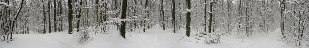
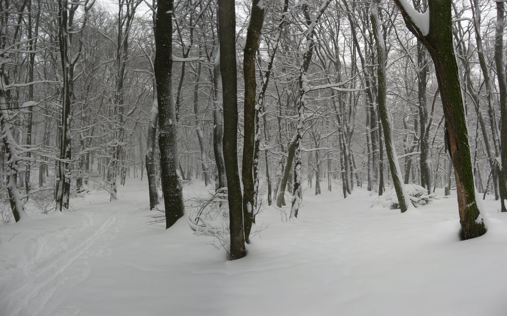
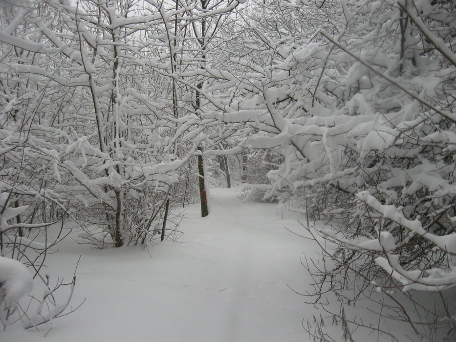
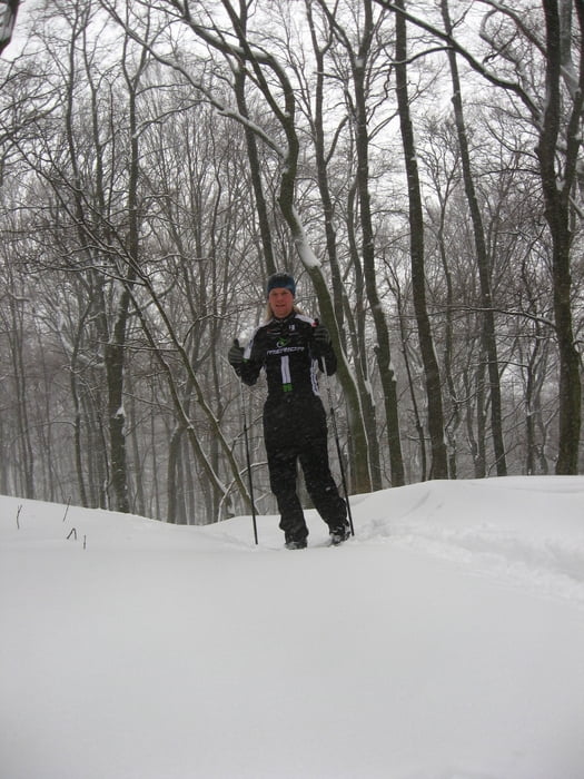
Úplne "ueber" bežkovanie. Nasnežilo riadne a stále sneh padal. Stopu som si väčšinou tvoril sám, bežky som ani nevidel. Snehu 15-30 cm. Tiež sa mi skvelo išlo, hoci sa sneh lepil a ani z kopca to nebol žiadny DH. Ale tešil som sa z dnešného dňa asi ako zo žiadneho predošlého. :-)

Tour gallery

Tour map and elevation profile

  • Open Street Map
  • Google
Minimum height 297 m Maximum height 446 m Detailed view

More about the tour author

tmax
Member since 2007

Send private message

Comments

BA-Dlhé Diely

GPS tracks

Trackpoints
  • GPX / Garmin Map Source (gpx) download
  • TCX / Garmin Training Center® (tcx) download
  • CRS / Garmin Training Center® (crs) download
  • Google Earth (kml) download
  • G7ToWin (g7t) download
  • TTQV (trk) download
  • Overlay (ovl) download
  • Fugawi (txt) download
  • Kompass (DAV) Track (tk) download
  • Track data sheet (pdf) download
  • Original file of the author (gpx) download

More about the tour author

tmax
Member since 2007

Send private message
Share track
Add to my favorites
Remove from my favorites
Edit tags
My score
Rate
Track: 20130117_Bežky
Type: Cross-country skiing
Distance: 9,4 km
Evaluated on:
Duration:
Day(s)
Hour(s)
Minute(s)
Score: Landscape Fun factor Fitness Technique