


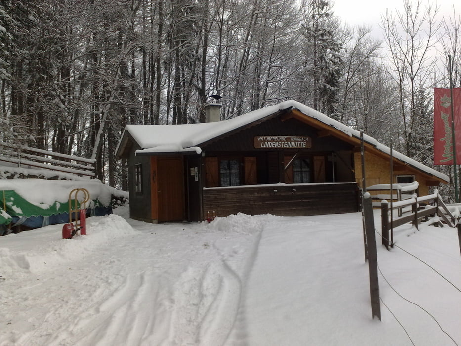
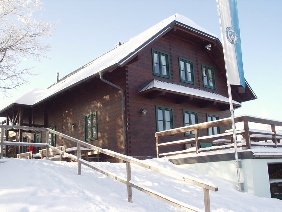
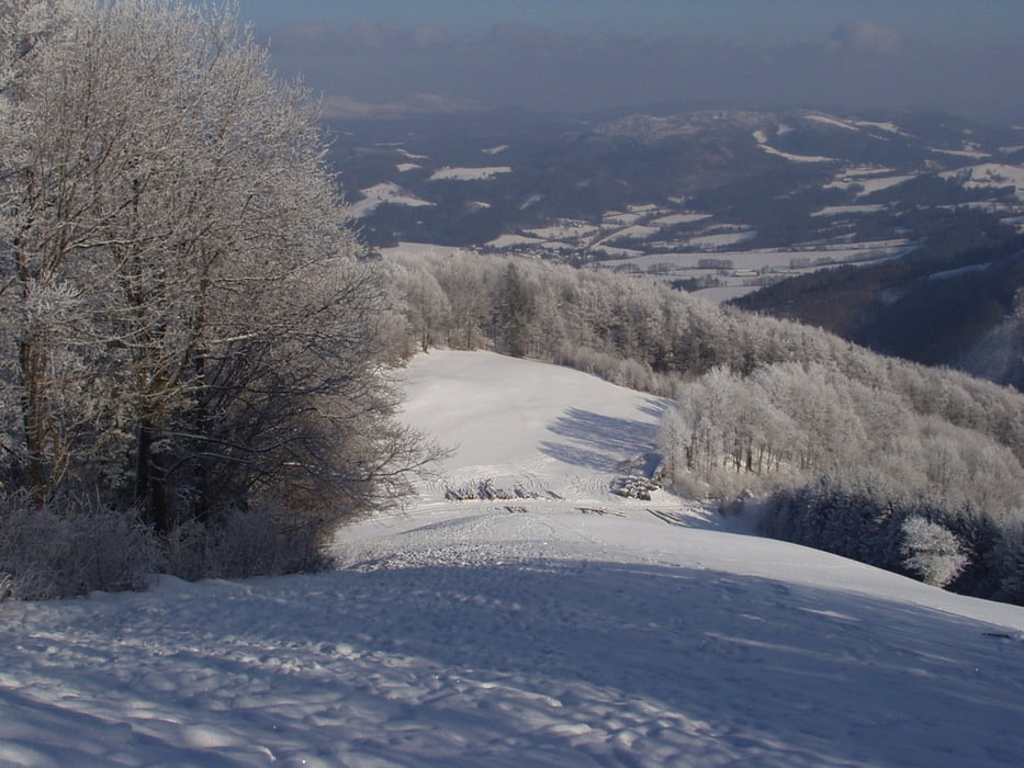
Von Hainfeld (Parkmöglichkeit bei der Kirche) geht es über einen Steig und weiter über eine Piste zur Hainfelder Hütte. Leichter Anstieg. Von da geht es immer leicht bergab zur Lindensteinhütte. Siehe GPS Aufzeichnung. Beide Hütten sind das ganze Jahr bewirtschaftet mit einer guten Küche. Weiter über den Schäfgraben ging es wieder nach Hainfeld zurück. Diese Tour ist für Anfänger mit Schneeschuhen sehr geeignet.
Tour gallery
Tour map and elevation profile
Minimum height 417 m
Maximum height 939 m
More about the tour author

|
chellino |
Comments

Anfahrt über die B 18. Weiter über Gassen Richtung Kirche halten.
GPS tracks
Trackpoints-
GPX / Garmin Map Source (gpx) download
-
TCX / Garmin Training Center® (tcx) download
-
CRS / Garmin Training Center® (crs) download
-
Google Earth (kml) download
-
G7ToWin (g7t) download
-
TTQV (trk) download
-
Overlay (ovl) download
-
Fugawi (txt) download
-
Kompass (DAV) Track (tk) download
-
Track data sheet (pdf) download
-
Original file of the author (gpx) download
More about the tour author
|
|
chellino |
Add to my favorites
Remove from my favorites
Edit tags
Open track
My score
Rate