


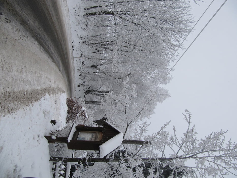
Start und Ziel der Tour in Waltersdorf/Grenzübergang Wache
bei der Rübezahlbaude rechts bergan, entlang der Grenze, Richtung Weberberg entsprechend Ausschilderung
auf dem Kammweg in Richtung Jägerdörfl, von dort kleine Runde im tschechischen Grenzgebiet, zurück nach Jägerdörfl, dort Einkehr möglich, Abfahrt nach Waltersdorf/Wache
Schneehöhe sollte mindestens 20 cm betragen
es ist keine Loipe gespurt
Further information at
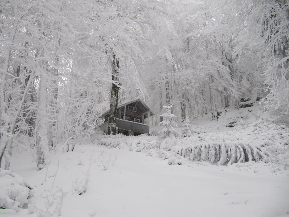
http://www.das-outdoor-land.deTour gallery
Tour map and elevation profile
Minimum height 502 m
Maximum height 706 m
More about the tour author
|
|
schwaran |
Comments

GPS tracks
Trackpoints-
GPX / Garmin Map Source (gpx) download
-
TCX / Garmin Training Center® (tcx) download
-
CRS / Garmin Training Center® (crs) download
-
Google Earth (kml) download
-
G7ToWin (g7t) download
-
TTQV (trk) download
-
Overlay (ovl) download
-
Fugawi (txt) download
-
Kompass (DAV) Track (tk) download
-
Track data sheet (pdf) download
-
Original file of the author (gpx) download
More about the tour author
|
|
schwaran |
Add to my favorites
Remove from my favorites
Edit tags
Open track
My score
Rate