


beginnend in Altenberg, Parkplatz am Evasteig, oberhalb vom Raupennest
über Loipe L1 bis zur Lugsteinbaude, dort über Grenze nach Tschechien
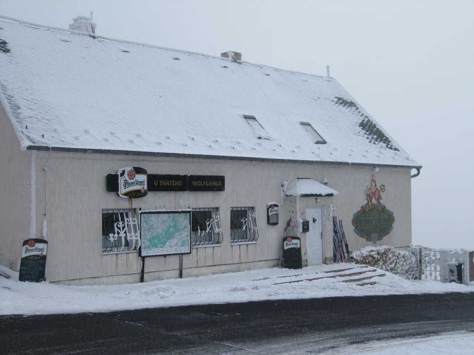
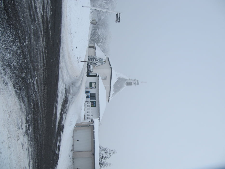
entlang Kammweg, vorbei an Restaurace Pomezi, über Brücke in Richtung Komari Hurka entlang Bierweg
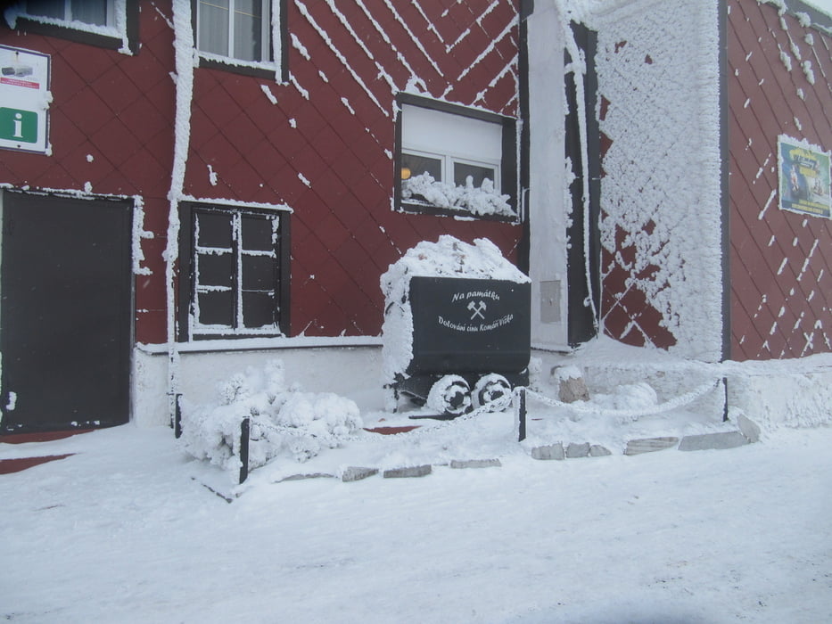
zurück nach Altenberg über Bergbaulehrpfad (roter Weg) nach Cinovec, dort über Grenze in Richtung Lugsteinbaude, über L1 zum Parkplatz
diverse Einkehrmöglichkeiten unterwegs
nicht vollständig gespurt, in Abhängigkeit von der Schneehöhe, mindestens 20 cm sollten vorhanden sein
Loipenplan gibt es in der Touristinformation am Bahnhof
Tour gallery
Tour map and elevation profile
Minimum height 770 m
Maximum height 886 m
More about the tour author
|
|
schwaran |
Comments

über A17 und B170 nach Altenberg
in Altenberg am Bahnhof rechts ab in Richtung Rehefeld
nach Raupennest auf linker Seite kostenpflichtiger Parkplatz (Tageskarte 4 Euro)
GPS tracks
Trackpoints-
GPX / Garmin Map Source (gpx) download
-
TCX / Garmin Training Center® (tcx) download
-
CRS / Garmin Training Center® (crs) download
-
Google Earth (kml) download
-
G7ToWin (g7t) download
-
TTQV (trk) download
-
Overlay (ovl) download
-
Fugawi (txt) download
-
Kompass (DAV) Track (tk) download
-
Track data sheet (pdf) download
-
Original file of the author (gpx) download
More about the tour author
|
|
schwaran |
Add to my favorites
Remove from my favorites
Edit tags
Open track
My score
Rate