


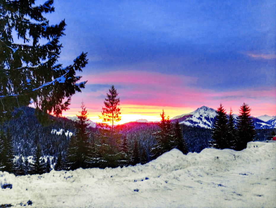
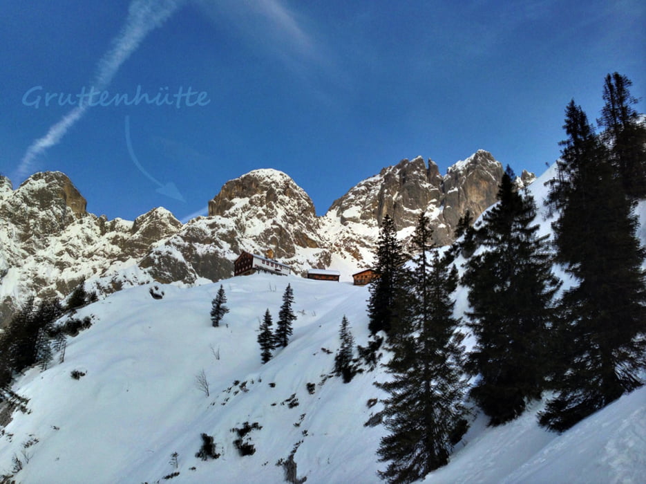
Ausgangspunkt ist die Wochenbrunneralm in Ellmau, am besten ist es zeitig vor Sonnenaufgang zu starten, die Tour beginnt direkt am Parkplatz (nicht Richtung Ellmauer Tor) sondern etwas weiter links davon in Richtung Gruttenhütte, zuerst etwas flacher durch den Wald und dann etwas steiler mit Spitzkehren vorbei bei der Gruttenhütte, bis hoch zum Gruttenkopf, von dort aus ist die Abfahrtsvariante frei wählbar.
Meistens ist die Abfahrt mit Bruchharsch zu bezwingen und auch beim Aufstieg müssen die Spitzkehrentechnik sitzen, da die Schneedecke generell recht hart ist!
Selbstverständlich muss der Lawinenbericht sowie die körperliche Kondition mit der Tourenplanung mit berücksichtigt werden wie immer ;)
Tour gallery
Tour map and elevation profile
Minimum height 1076 m
Maximum height 1820 m
More about the tour author
|
|
lateatn8 |
Comments

GPS tracks
Trackpoints-
GPX / Garmin Map Source (gpx) download
-
TCX / Garmin Training Center® (tcx) download
-
CRS / Garmin Training Center® (crs) download
-
Google Earth (kml) download
-
G7ToWin (g7t) download
-
TTQV (trk) download
-
Overlay (ovl) download
-
Fugawi (txt) download
-
Kompass (DAV) Track (tk) download
-
Track data sheet (pdf) download
-
Original file of the author (gpx) download
More about the tour author
|
|
lateatn8 |
Add to my favorites
Remove from my favorites
Edit tags
Open track
My score
Rate