Login

Forgotten password?

Cookies have to be accepted!
Your browser's cookie functionality is disabled. Please enable this functionality.

Not a member yet?

Register now
Login

Available for registred users only

Log in to use this feature.

Forgotten password?

Cookies have to be accepted!
Your browser's cookie functionality is disabled. Please enable this functionality.

Not a member yet?

Register now
Filter
Categories
Advanced filters
  • Distance (km)
  • Height
Save filters Reset filter

TrackRank

QRCode

Technical data

Distance11,8 km Height831 m Way down1294 m Duration06:00 h:m Date29.01.2013
Scores Author Landscape Fun factor Fitness Technique

Statistics

711 Views Scores 59 Downloads Average
Rate
  • Track data sheet
  • Directions
  • Downloads

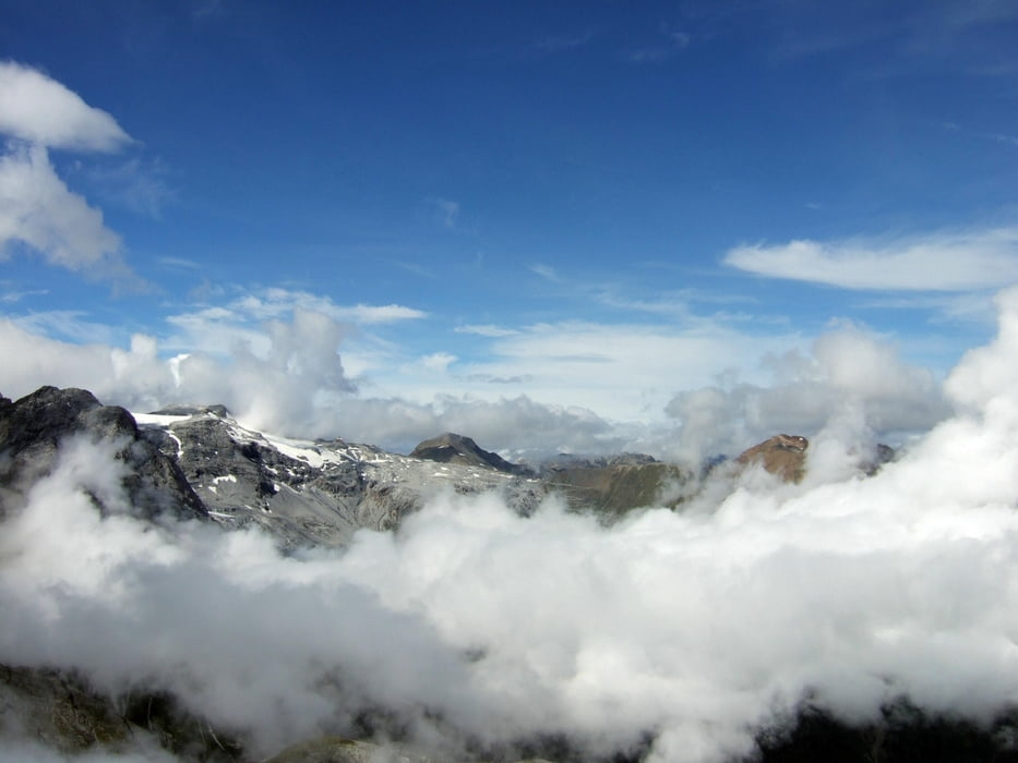
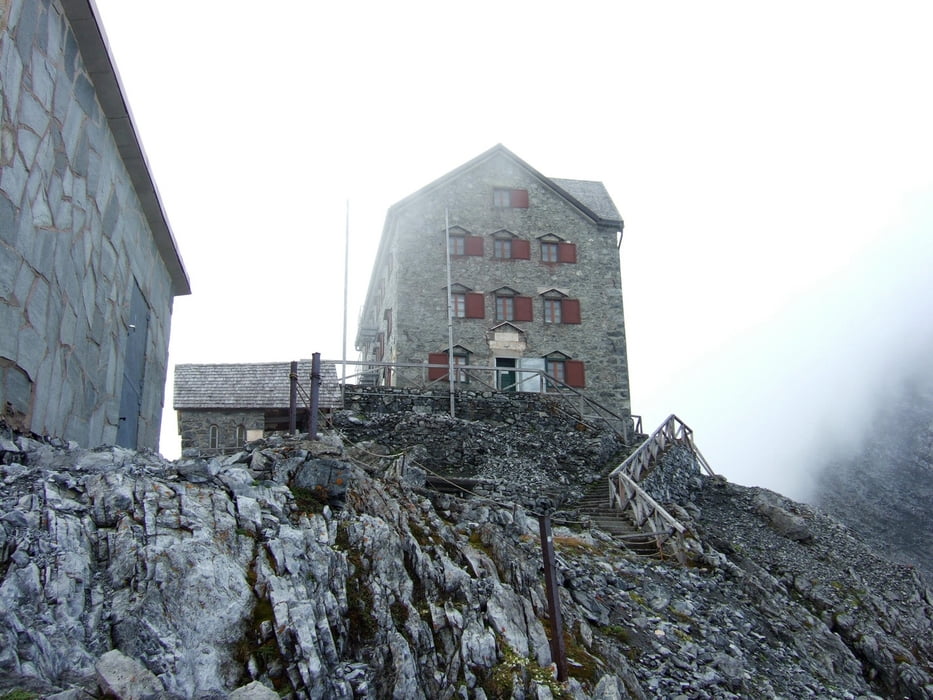
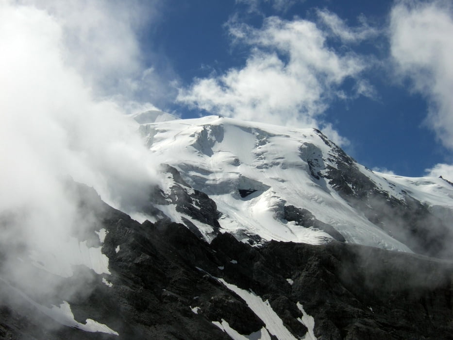
Von der Bergstation des Langenstein-Sesselliftes über Geröll und Wiesen zur Tabarettahütte, hinauf zum Bärenjoch mit schönem Blick hinüber zum Stilfser Joch und südlich weiter zur Payerhütte.


Tour gallery

Tour map and elevation profile

  • Open Street Map
  • Google
Minimum height 1912 m Maximum height 3116 m Detailed view

More about the tour author

Ingo-Dessau
Member since 2013

Send private message

Comments

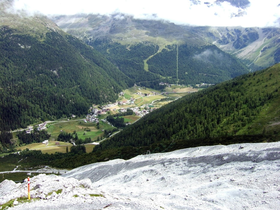
Aus dem Vinschgau auf der Stifser-Joch-Straße bis Gomagoi, links abbiegen in das Suldental.


GPS tracks

Trackpoints
  • GPX / Garmin Map Source (gpx) download
  • TCX / Garmin Training Center® (tcx) download
  • CRS / Garmin Training Center® (crs) download
  • Google Earth (kml) download
  • G7ToWin (g7t) download
  • TTQV (trk) download
  • Overlay (ovl) download
  • Fugawi (txt) download
  • Kompass (DAV) Track (tk) download
  • Track data sheet (pdf) download
  • Original file of the author (gpx) download

More about the tour author

Ingo-Dessau
Member since 2013

Send private message
Share track
Add to my favorites
Remove from my favorites
Edit tags
My score
Rate
Track: Julius-Payer-Hütte
Type: Mountain hiking
Distance: 11,8 km
Evaluated on:
Duration:
Day(s)
Hour(s)
Minute(s)
Score: Landscape Fun factor Fitness Technique