


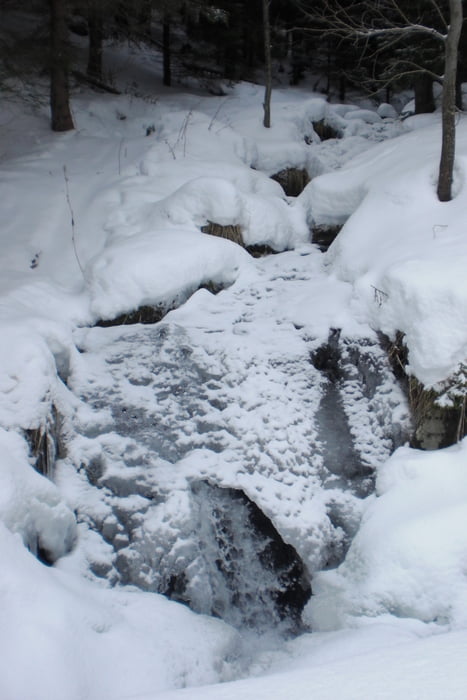
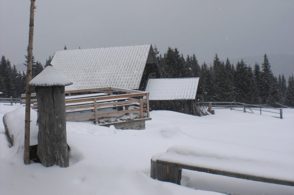
Vom Parkplatz beim Biotop über den Wasserfallrundweg und einer Forststrasse auf die Schwaig. Leider hatte der immer freundliche Wirt seinen freien Tag und so gab nur Tee aus der Thermosflasche. Runter gings auf der annähernd gleichen Strecke.
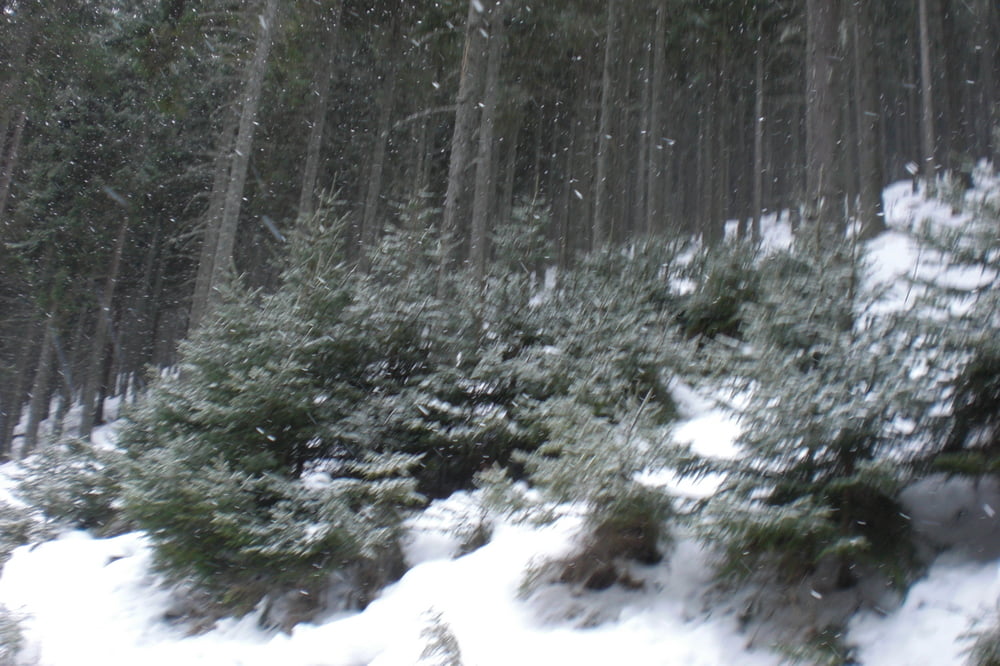
Das besondere war eigentlich der starke Schneefall und das es innerhalb weniger Stunden so warm wurde das Schnnee an den Schuhen kleben blieb und das auf den letzten Kilometern die Schneeschuhe abgeschnallt wurden.
Tour gallery
Tour map and elevation profile
Minimum height 988 m
Maximum height 1487 m
More about the tour author
|
|
Yeti2333 |
Comments

Über die S1, A2 Abfahrt Aspang Edlitz auf der B54 Richtung Aspang und dann beim Kreisverkehr nach Mariensee. Durch den Ort durch bis zum Biotop Parkplatz.
GPS tracks
Trackpoints-
GPX / Garmin Map Source (gpx) download
-
TCX / Garmin Training Center® (tcx) download
-
CRS / Garmin Training Center® (crs) download
-
Google Earth (kml) download
-
G7ToWin (g7t) download
-
TTQV (trk) download
-
Overlay (ovl) download
-
Fugawi (txt) download
-
Kompass (DAV) Track (tk) download
-
Track data sheet (pdf) download
-
Original file of the author (gpx) download
More about the tour author
|
|
Yeti2333 |
Add to my favorites
Remove from my favorites
Edit tags
Open track
My score
Rate