Login

Forgotten password?

Cookies have to be accepted!
Your browser's cookie functionality is disabled. Please enable this functionality.

Not a member yet?

Register now
Login

Available for registred users only

Log in to use this feature.

Forgotten password?

Cookies have to be accepted!
Your browser's cookie functionality is disabled. Please enable this functionality.

Not a member yet?

Register now
Filter
Categories
Advanced filters
  • Distance (km)
  • Height
Save filters Reset filter

TrackRank

QRCode

Technical data

Distance4,4 km Height273 m Way down277 m Duration02:00 h:m Date31.01.2013
Scores Author Landscape Fun factor Fitness Technique

Statistics

867 Views Scores 188 Downloads Average
Rate
  • Track data sheet
  • Directions
  • Downloads

ein leichter Klettersteig, maximal B

Einstieg: von Arco aus in Richtung Campingplatz auf linker Seite, nach Ausschilderung

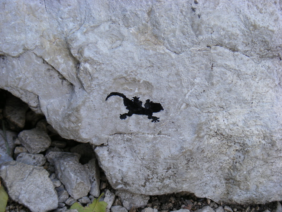
durch Bouldergebiet zum Beginn des Klettersteiges

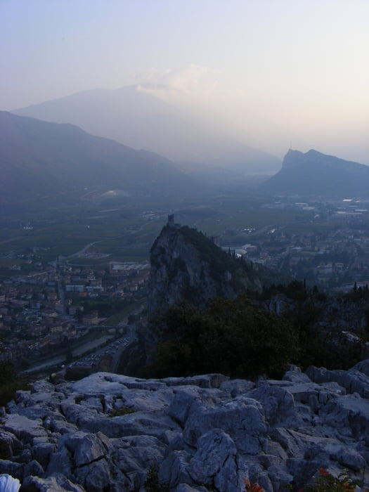
Ziel ist das gut sichtbare Gipfelkreuz, on dort Abstieg nach Laghel und von dort durch die engen, aber sehr malerischen Gassen der Altstadt ins Zentrum von Arco


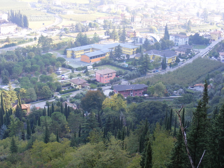
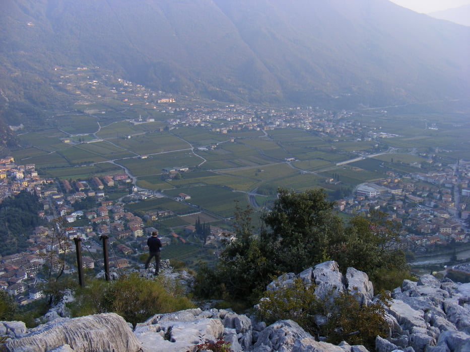
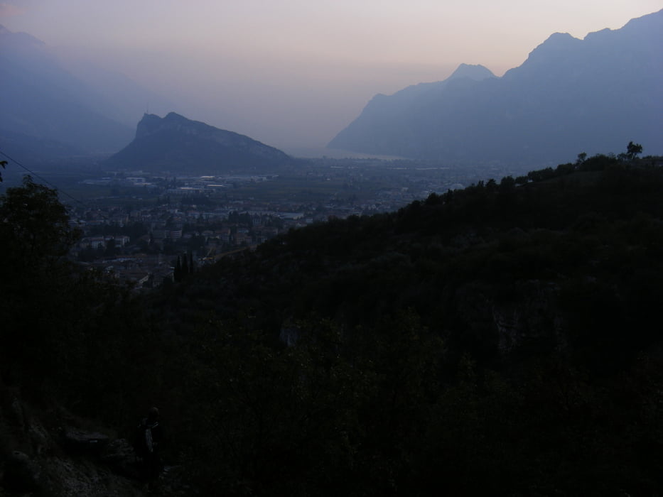
schöne Aussicht von oben bis zum Gardasee über die Ebene hinweg


Literatur: Klettersteigführer Dolomiten Südtirol Gardasee (Alpinverlag)


Tour gallery

Tour map and elevation profile

  • Open Street Map
  • Google
Minimum height 91 m Maximum height 367 m Detailed view

More about the tour author

schwaran
Member since 2012

Send private message

Comments

ChristoHutschel on 03.01.2016

Video zur Tour

Ein leichter Einsteigerklettersteig (B) bei Arco. Nicht allzu schwer, auch für Kinder geeignet. Mit tollen Blicken auf Arco, den Gardasee und die Burg von Arco. Der Steig ist ideal als Eingehtour, kaum ausgesetzte Passagen 300 Hm, 2,5 Std danach Cappuccinotrinken in der malerischen Altstadt von Arco. http://youtu.be/XA0O8hqMmjM

über Trento durch das Sarcatal nach Arco

am Kreisverkehr über Brücke und dann nach rechts auf den Parkplatz

vom Parkplatz weiter auf der Straße im Sarcatal entlang in Richtung Campingplatz


GPS tracks

Trackpoints
  • GPX / Garmin Map Source (gpx) download
  • TCX / Garmin Training Center® (tcx) download
  • CRS / Garmin Training Center® (crs) download
  • Google Earth (kml) download
  • G7ToWin (g7t) download
  • TTQV (trk) download
  • Overlay (ovl) download
  • Fugawi (txt) download
  • Kompass (DAV) Track (tk) download
  • Track data sheet (pdf) download
  • Original file of the author (gpx) download

More about the tour author

schwaran
Member since 2012

Send private message
Share track
Add to my favorites
Remove from my favorites
Edit tags
My score
Rate
Track: Sentiero attrezzato del Colodri
Type: Via ferrata
Distance: 4,4 km
Evaluated on:
Duration:
Day(s)
Hour(s)
Minute(s)
Score: Landscape Fun factor Fitness Technique