


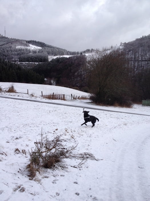
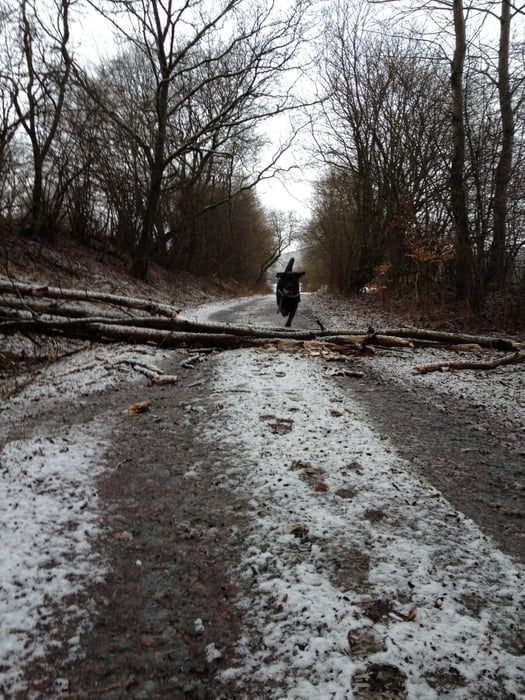
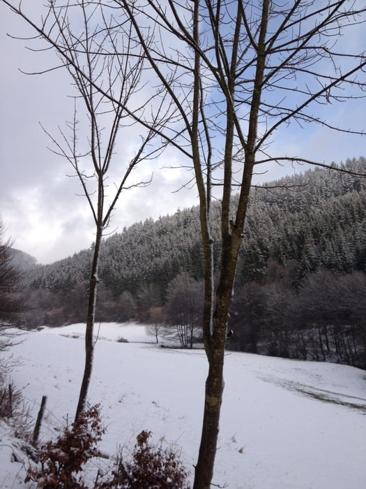
Wir starten an der Katholischen Kirche im Hallenberger Ortsteil Liesen und wandern erst ein Stück den Sellerberg hinauf. An der ersten Abzweigung biegen wir rechts in einen Feldweg ab, der bald durch den ruhigen Hallenberger Wald hinab in das Liesetal führt. Die Wege waren trotz Schneematsch gut zu laufen und teilweise geteert, dennoch ist festes Schuhwerk ratsam.
Tour gallery
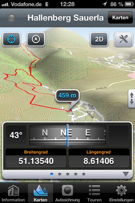
Tour map and elevation profile
Minimum height 456 m
Maximum height 566 m
More about the tour author

|
columbos-frauli |
Comments

Startpunkt ist die katholische Kirche im Hallenberger Ortsteil Liesen (Breidenweg, 59969 Hallenberg OT Liesen)
GPS tracks
Trackpoints-
GPX / Garmin Map Source (gpx) download
-
TCX / Garmin Training Center® (tcx) download
-
CRS / Garmin Training Center® (crs) download
-
Google Earth (kml) download
-
G7ToWin (g7t) download
-
TTQV (trk) download
-
Overlay (ovl) download
-
Fugawi (txt) download
-
Kompass (DAV) Track (tk) download
-
Track data sheet (pdf) download
-
Original file of the author (gpx) download
More about the tour author
|
|
columbos-frauli |
Add to my favorites
Remove from my favorites
Edit tags
Open track
My score
Rate