Login

Forgotten password?

Cookies have to be accepted!
Your browser's cookie functionality is disabled. Please enable this functionality.

Not a member yet?

Register now
Login

Available for registred users only

Log in to use this feature.

Forgotten password?

Cookies have to be accepted!
Your browser's cookie functionality is disabled. Please enable this functionality.

Not a member yet?

Register now
Filter
Categories
Advanced filters
  • Distance (km)
  • Height
Save filters Reset filter

TrackRank

QRCode

Technical data

Distance10,2 km Height233 m Way down208 m Duration03:00 h:m Date16.02.2013
Scores Author Landscape Fun factor Fitness Technique

Statistics

267 Views Scores 11 Downloads Average
Rate
  • Track data sheet
  • Directions
  • Downloads

De wandeling zelf is op bepaalde stukken niet geschikt voor rolstoelen en kinderwagens.

Er zijn in het gebied echter wel stukken voorzien voor de mindervalide medemens.

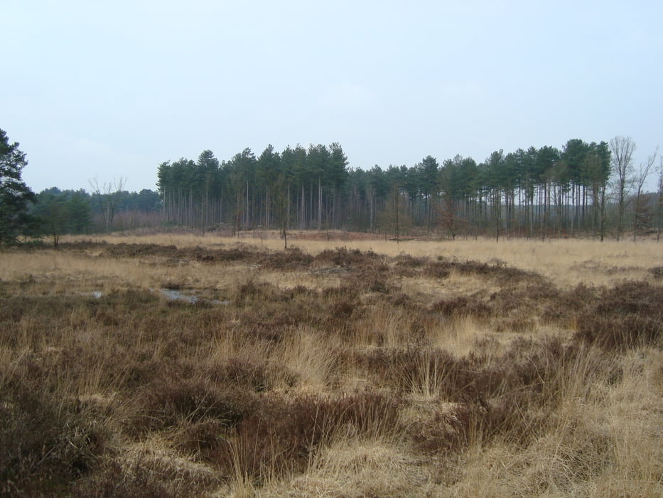
Ook een wandelknoopuntennetwerk is aanwezig.


Tour gallery

Tour map and elevation profile

  • Open Street Map
  • Google
Minimum height 10 m Maximum height 60 m Detailed view

More about the tour author

ikkel
Member since 2009

Send private message

Comments

GPS tracks

Trackpoints
  • GPX / Garmin Map Source (gpx) download
  • TCX / Garmin Training Center® (tcx) download
  • CRS / Garmin Training Center® (crs) download
  • Google Earth (kml) download
  • G7ToWin (g7t) download
  • TTQV (trk) download
  • Overlay (ovl) download
  • Fugawi (txt) download
  • Kompass (DAV) Track (tk) download
  • Track data sheet (pdf) download
  • Original file of the author (gpx) download

More about the tour author

ikkel
Member since 2009

Send private message
Share track
Add to my favorites
Remove from my favorites
Edit tags
My score
Rate
Track: Natuurgebied Gerhagen
Type: Hiking
Distance: 10,2 km
Evaluated on:
Duration:
Day(s)
Hour(s)
Minute(s)
Score: Landscape Fun factor Fitness Technique