
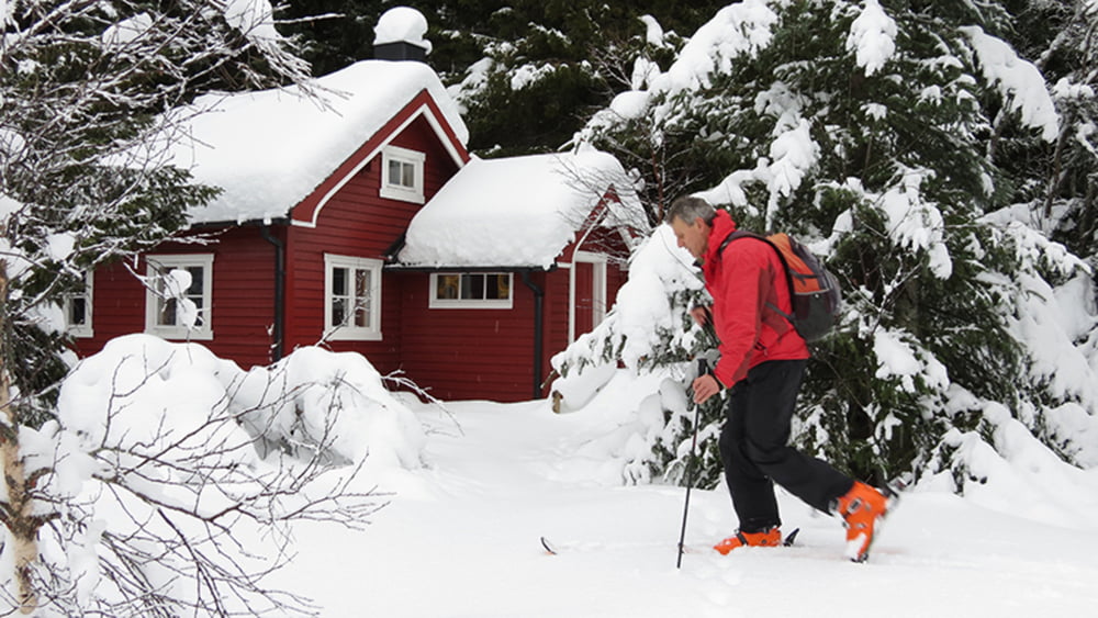

Durch eine tief verschneite Landschaft ging es bis zum Storkongsvatnet. Nachdem wir ein kleines Stück um den See herumgelaufen sind, haben wir eine nicht so stark bewachsene und nicht so steile Stelle gefunden, an der auch Skispuren nach oben führten.
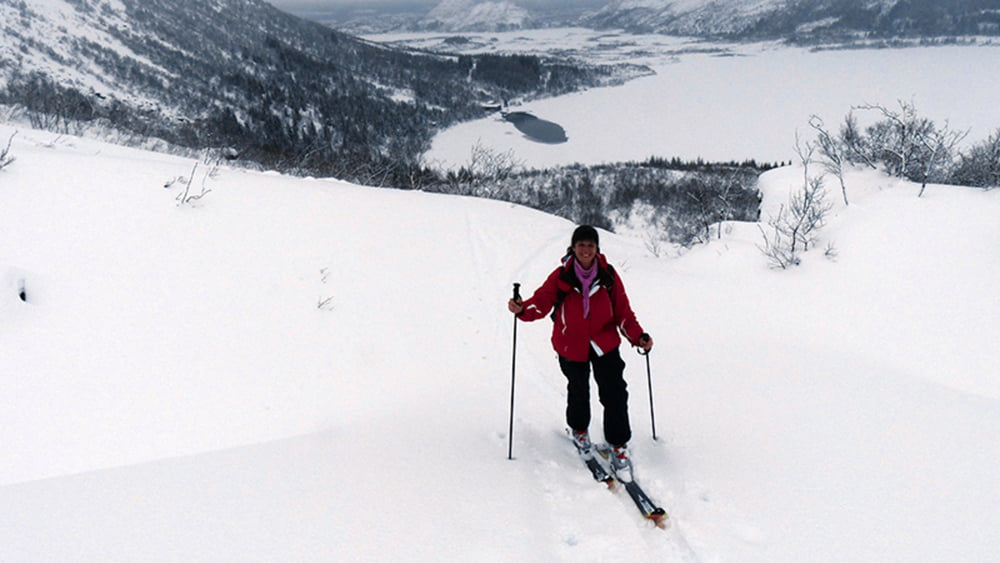
Wir sind bis auf ca. 300 m Höhe aufgestiegen. Dann war der Nebel so dicht, dass wir nicht mehr sehen konnten, wo man am besten weiter geht. Wir haben beschlossen umzudrehen und sind vorsichtig durch den recht schweren Schnee abgefahren. Für den ersten Tag auf den Lofoten war es gar nicht so schlecht.
Tour gallery
Tour map and elevation profile
Minimum height 17 m
Maximum height 298 m
More about the tour author
|
|
biauwe |
Comments

GPS tracks
Trackpoints-
GPX / Garmin Map Source (gpx) download
-
TCX / Garmin Training Center® (tcx) download
-
CRS / Garmin Training Center® (crs) download
-
Google Earth (kml) download
-
G7ToWin (g7t) download
-
TTQV (trk) download
-
Overlay (ovl) download
-
Fugawi (txt) download
-
Kompass (DAV) Track (tk) download
-
Track data sheet (pdf) download
-
Original file of the author (gpx) download
More about the tour author
|
|
biauwe |
Add to my favorites
Remove from my favorites
Edit tags
Open track
My score
Rate