


Wie immer ging es vom Biotop Parkplatz los.
Diesmal über den Almweg obwohl vor mir schon ein Schitourengeher unterwegs war war der Aufstieg doch anstrengend.
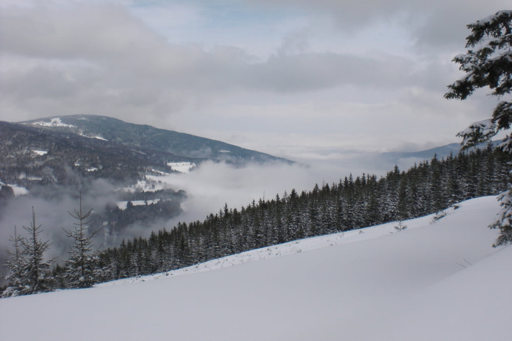
Das eigentlich besondere an diesen Vormittag war keinerlei Zivilisations-Geräusche den Klang der Stille und des Waldes gestört haben, ein sehr seltener Moment.
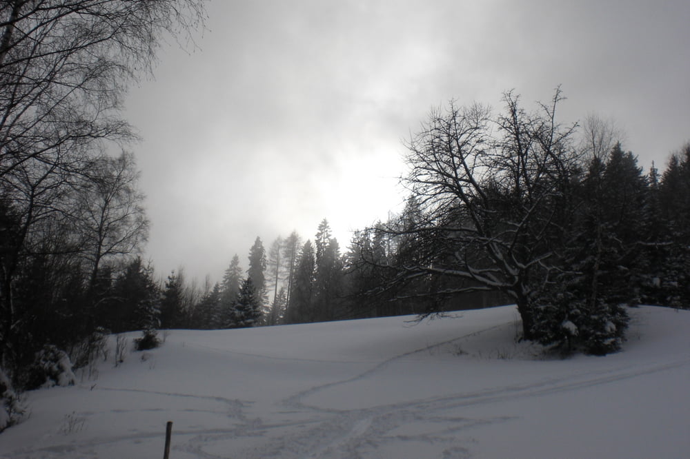
Nach einer kurzen Rast auf der Schwaig bei der der Wandershund und ich bestens bewirtet wurden ging es über Forstwege wieder zurrück zum Auto.
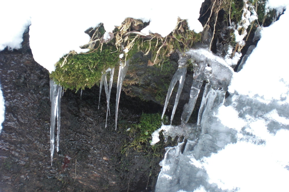
Tour gallery
Tour map and elevation profile
Minimum height 949 m
Maximum height 1482 m
More about the tour author
|
|
Yeti2333 |
Comments

Über die S1, A2 Abfahrt Aspang Edlitz auf der B54 Richtung Aspang und dann beim Kreisverkehr nach Mariensee. Durch den Ort durch bis zum Biotop Parkplatz
GPS tracks
Trackpoints-
GPX / Garmin Map Source (gpx) download
-
TCX / Garmin Training Center® (tcx) download
-
CRS / Garmin Training Center® (crs) download
-
Google Earth (kml) download
-
G7ToWin (g7t) download
-
TTQV (trk) download
-
Overlay (ovl) download
-
Fugawi (txt) download
-
Kompass (DAV) Track (tk) download
-
Track data sheet (pdf) download
-
Original file of the author (gpx) download
More about the tour author
|
|
Yeti2333 |
Add to my favorites
Remove from my favorites
Edit tags
Open track
My score
Rate